News | 21.07.2020
UKCEH develops customised E-Planner tool for dairy farmers
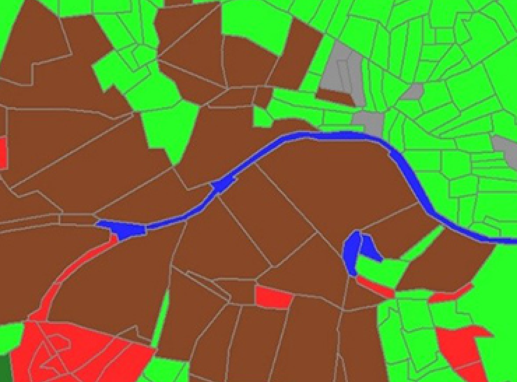
Simple page | 29.06.2020
UKCEH Land Cover Maps
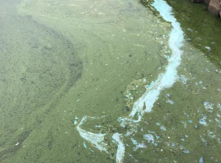
Press release | 18.06.2020
Scientists predict increase in harmful blue-green algae this year
News | 11.06.2020
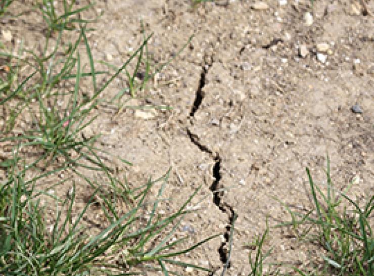
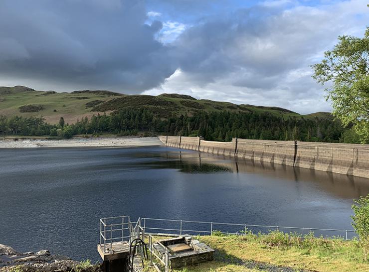
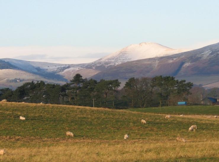
From severe flooding to drought conditions in a matter of weeks

News | 20.05.2020
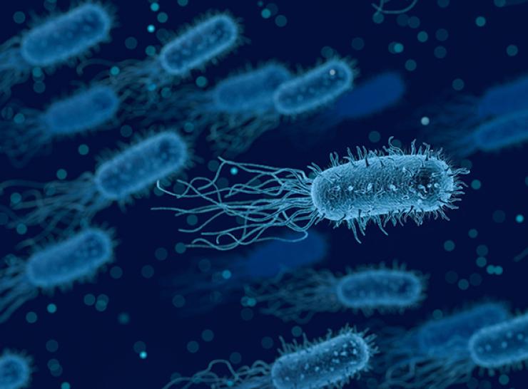
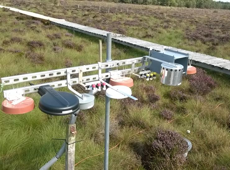
Long-term monitoring sites are key to assessing impacts of COVID-19
Project | 23.04.2020
Reviewing Approaches for communicating Drought status And Risk (RADAR)
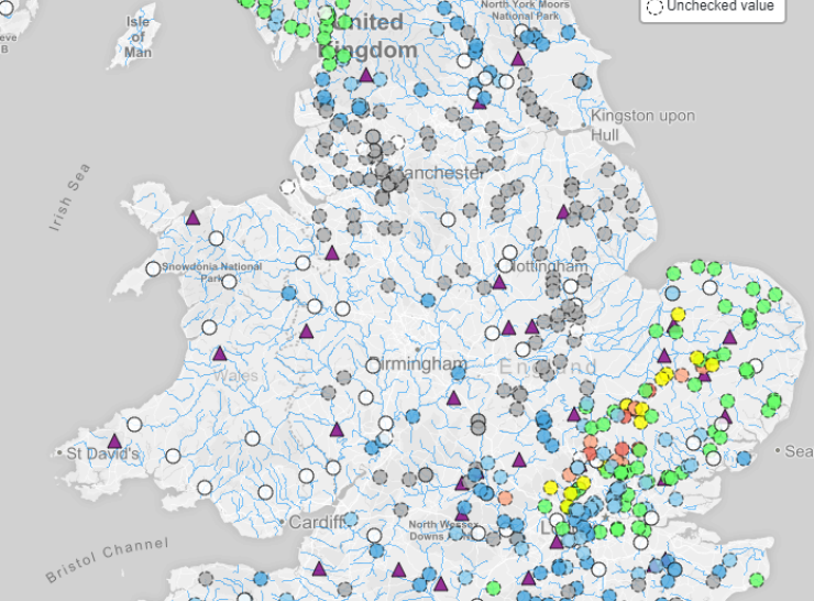
News | 24.03.2020
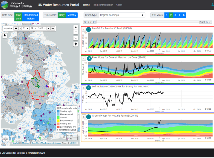
Track latest hydrological situation across the UK via our new portal
Project | 19.03.2020
eFLaG: Enhanced Future Flows and Groundwater
Training/Event | 25.02.2020
Mastering Ammonia measurement planning
Training/Event | 25.02.2020