Individual pages are available for each Survey, providing information on how the project has evolved since its inception.
Also see this Countryside Survey StoryMap
Countryside Survey’s methods have evolved since 1978 to make it a world-leader in the study of change in our natural resources. Today it represents the forefront of such research. Each time the Survey is repeated, the value of the series is increased as a whole. Over the years the number of squares surveyed and the number of different items recorded within each square has increased too.
Individual pages are available for each Survey, providing information on how the project has evolved since its inception.
Also see this Countryside Survey StoryMap
Ecological Surveys of Shetland and Cumbria.

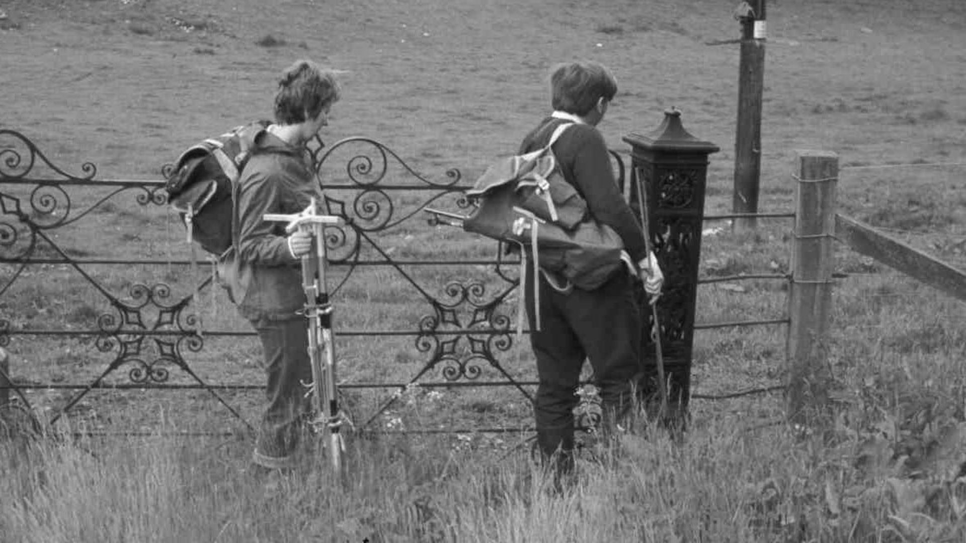
Ecological Survey of Great Britain (Countryside Survey #1). 256 squares were recorded by field surveyors using techniques developed by Institute of Terrestrial Ecology (ITE) staff (ITE later became part of the present UK Centre for Ecology and Hydrology, UKCEH). Representative squares were selected using a system known as the ITE Land Classification.

Ecological Survey of Great Britain (Countryside Survey #2). Almost all of the 1978 squares were re-surveyed and extra squares added; 384 squares were recorded altogether.
Ecological Consequences of Land Use Change (ECOLUC) project. ECOLUC analysed the changes observed 1978-1984 and suggested improvements in methodology for the 1990 Survey. It also developed the Countryside Information System (CIS).
Countryside Survey #3. All of the 1984 squares were re-surveyed and extra squares added, making 508 squares altogether. Freshwater indicators were recorded for the first time. The first Land Cover Map of Great Britain was created using innovative techniques. The Survey was co-funded by the Natural Environment Research Council, Dept. of the Environment, Dept. for Trade and Industry, British National Space Centre and the Nature Conservancy Council.

Countryside Survey #4. All of the 1990 squares were re-surveyed and extra squares added making 569 squares altogether. In this Survey we were able to report separately for Scotland for the first time. The second Land Cover Map (2000) was created including Northern Ireland. The Survey was funded by a partnership of government funded departments and agencies, headed by the Natural Environment Research Council (NERC) and Dept. for Environment Transport and the Regions (DETR).

Countryside Survey #5. The Survey revisited previous squares, adding extra squares to make up a total of 591 in England, Scotland and Wales. The increased number of squares has allowed Countryside Survey to report, for the first time, on all the countries individually as well as the UK as a whole. The Survey is funded by NERC and a partnership of government funded departments and agencies, headed by the Dept. for Environment, Food and Rural Affairs (Defra).
![]()
