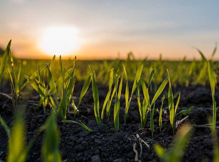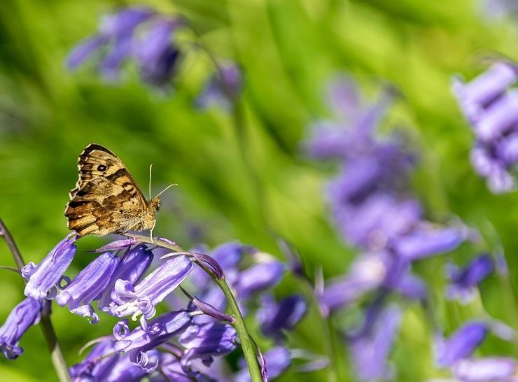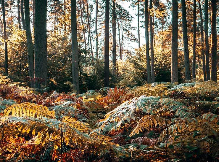
Our environment is under pressure. In order to manage this pressure, we need accurate data that show how our water, land and air and the animals and plants that depend on them are changing over time.
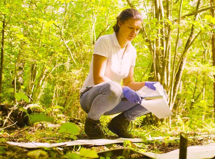
The data from the UKCEH Countryside Survey serve as an audit of the natural resources of the countryside and are a great source of data for researchers and the general public alike. They are used for numerous purposes from fundamental research, to the UK National Ecosystem Assessment, the UK Natural Capital Accounts, agri-environment reporting, validating the UKCEH Land Cover Map and soil health reporting.
As a publicly funded research programme (currently funded by the Natural Environment Research Council UK-SCAPE programme), we provide the data that researchers, governments, businesses, geography teachers, students and citizens need to understand and manage environmental change. Because of the efficient sampling strategy UKCEH Countryside Survey uses, based on Land Classes, the programme provides robust national statistics for a wide range of natural resources.
To become more dynamic in reporting ongoing change, UKCEH Countryside Survey has now moved to a rolling programme where locations are monitored over a five-year period, enabling annual updates.