Royal Geographical Society resources

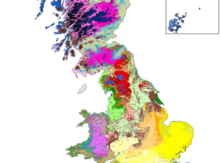
Thanks to the Royal Geographical Society and the Nuffield Foundation (via facilitation from Lancaster University), there are now some Countryside Survey related Resources for Schools available. The resources are aimed at Key Stage 5 (A Level) and include the following:
- Exploring the background to Countryside Survey data
- Performing analysis in ArcGIS Online
- Exploring Land Classes, Linear Features and Habitats in Britain
Explore UKCEH Countryside Survey data
GIS in a Box: exploring the UK’s land use

'Top Trumps' is a game that many children become familiar with growing up – competing with one another for the fastest car or the deadliest animal. The 'UK Land Cover trumps' enable students to compete on the basis of extents of different land cover types at a county level. Is there anywhere in the UK with higher areas of arable land than Cambridgeshire? Which is the most urbanised county in the pack?
The cards feature the UK Land Cover Map which has been developed by staff at UKCEH through interpretation of satellite data. Lancaster University provide schools with the cards through its 'Research in a Box' scheme aimed at inspiring the next generation of researchers.
