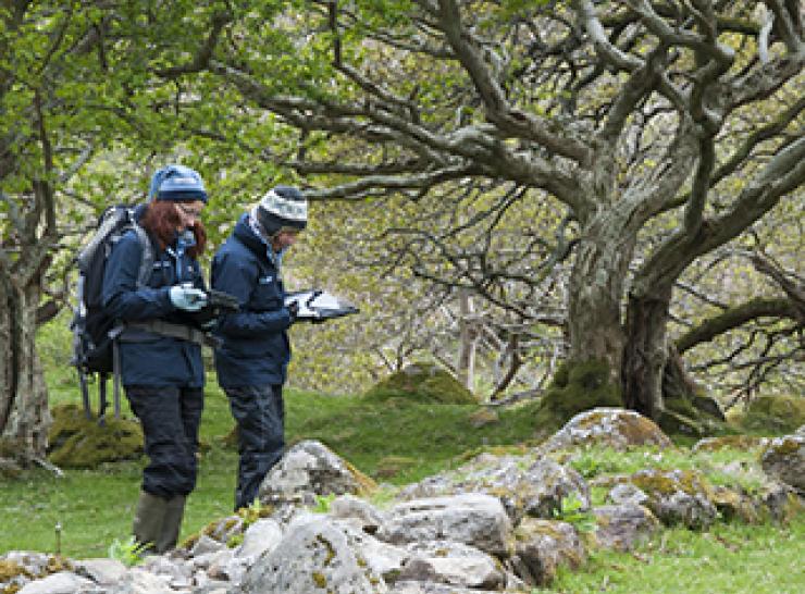
Project | 18.11.2015
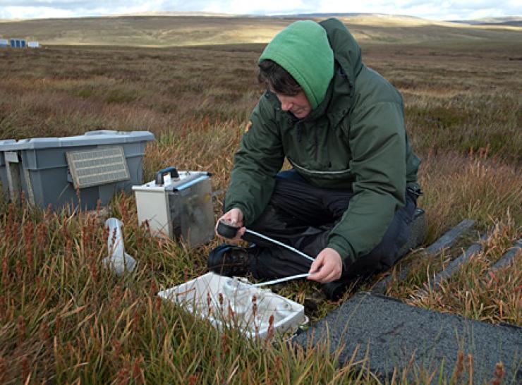
Glastir Monitoring and Evaluation Programme (GMEP)
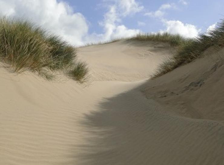
Project | 11.11.2016
Understanding sand dunes

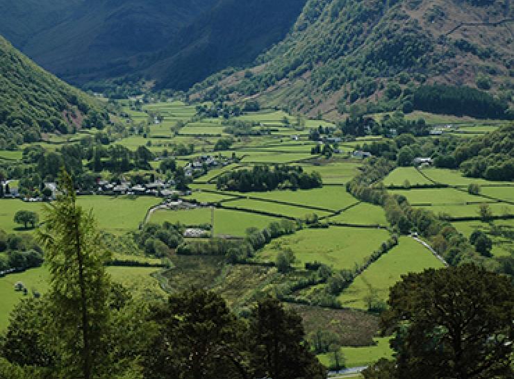
Project | 13.10.2016
Coastal habitats and species
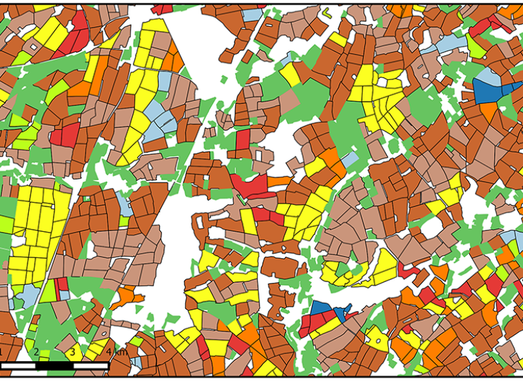
Project | 13.09.2016
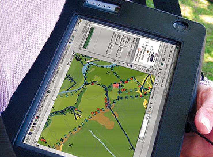
Natural Capital Metrics
Services | 25.01.2016
UKCEH Land Cover® plus: Crops
Project | 08.12.2015
Valuing Nature Programme
Project | 28.09.2015
ICP Vegetation
Simple page | 21.09.2015
Why should we conserve and manage our soils?
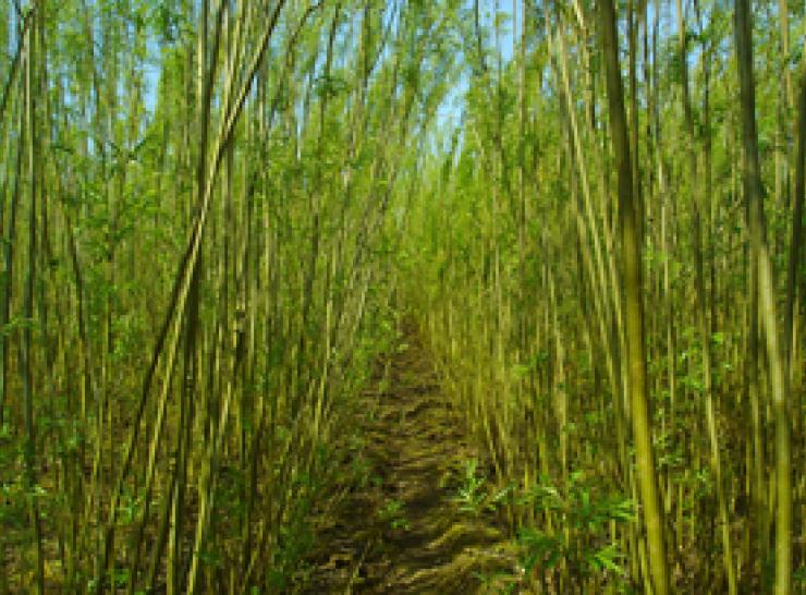
Project | 15.09.2015
KE4BE - Knowledge Exchange for Bioenergy
Project | 17.07.2015
UK Environmental Change Network
Simple page | 08.06.2015
International Year of Soils 2015
Project | 24.02.2015