Scientific Challenge

Droughts, one of the costliest natural hazards globally, are expected to increase in frequency and severity for many parts of the world.  

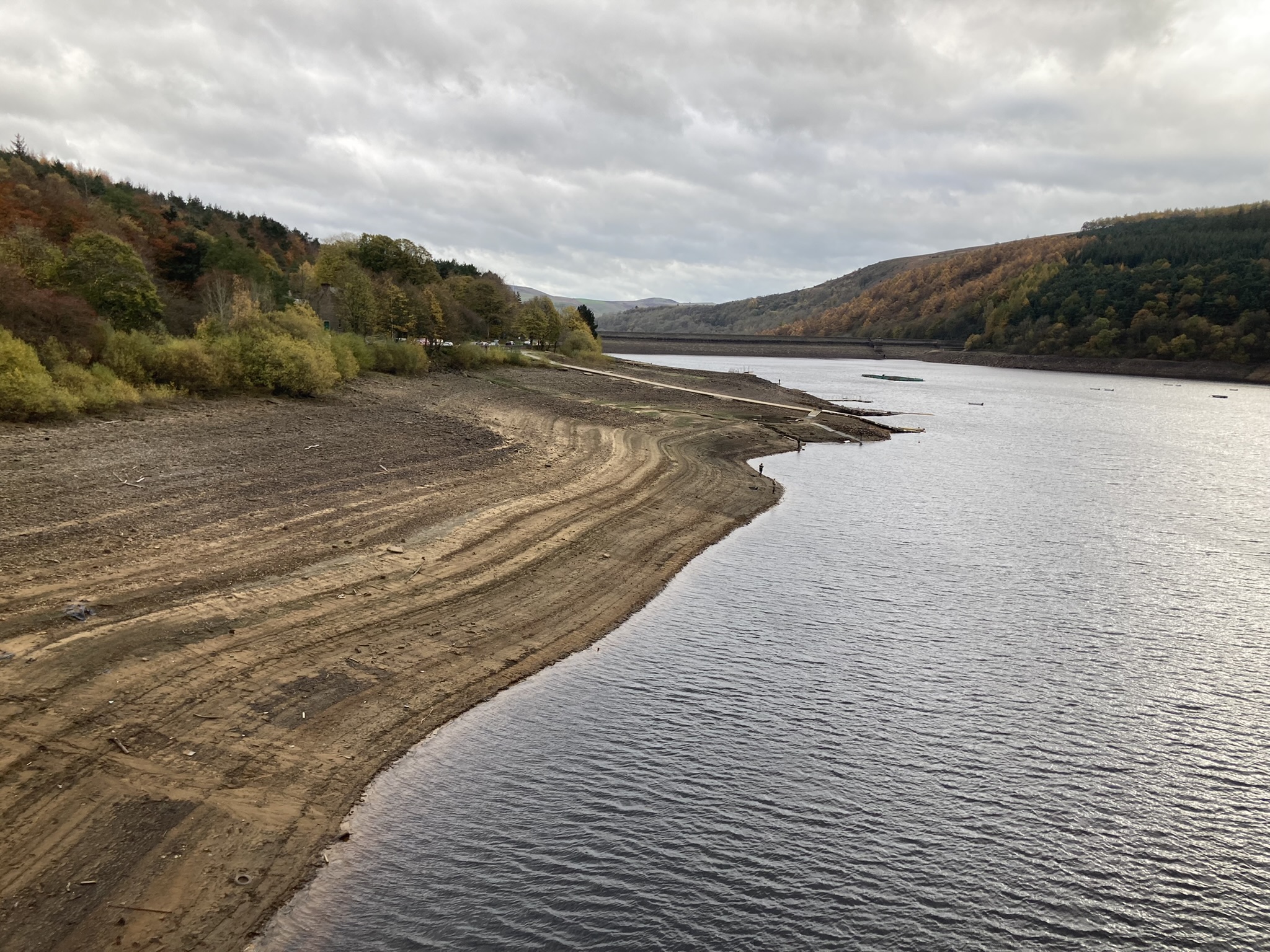
In the UK, studies have highlighted the rising costs of drought impacts in a warmer world and the resultant need for increased resilience and preparedness. Although the UK is typically thought of as a wet country, recent events in 2022 and 2018 have demonstrated a continuing vulnerability to drought.

Image
Ladybower Reservoir - Nov 2022
Ladybower Reservoir, November 2022 - © Jamie Hannaford

Drought management relies on the use of Monitoring and Early Warning (MEW) systems. Currently, drought MEW systems focus on drought indicators based on the hydro-meteorological state of the environment. However, to be meaningful for water managers and decision-makers, these physical drought indices need to be translated into forecasts of drought impacts, including location, timing, and type of impact to enable action to be taken.  

The relationship between drought indicators and impacts can be used to derive Drought Impact Functions (DIFs), which can then be used to predict drought impacts from given indicator states. Compared to other areas of natural hazards research, like floods or heatwaves, impact-based forecasting is relatively unexplored for droughts.

Objectives

Overall, IRIS aims to develop methods to forecast drought impacts at the seasonal timescale and the localised spatial scale relevant for water managers and decision makers, with specific objectives to: 

  1. Identify and develop relationships between drought indices and drought impacts using a range of high-resolution drought indicator and drought impact data sources.  
  2. Apply statistical and machine learning techniques to build DIFs, produce drought impact hindcasts (forecasts of the past), and assess forecast skill at a range of leads times from one to up to two seasons ahead.  
  3. Test drought impact forecasts with stakeholders to assess their utility for drought management in contrasting case study regions. 

Project Overview

The relationship between drought indices and drought impacts will be analysed to develop DIFs, using novel high-resolution impact datasets for the UK. 

To develop DIFs, the impact data will be linked with drought indicators at the local scale so that impacts can be forecast at the seasonal scale. If DIFs can be successfully developed, this approach has potential to be implemented in an operational real-time drought forecasting tool. This would allow stakeholders to make informed decisions based on expected impacts, rather than the, often arbitrary, thresholds and indicator values provided by traditional drought indices.  

Project Details

IRIS is structured into three work packages - more information on each is given below:

Image
IRIS project work package diagram
 
 
1.   Gathering drought indicator and impact data

Existing drought indices datasets – such as Standardised Precipitation Index (SPI), Standardised Precipitation Evaporation Index (SPEI), Standardised Streamflow Index (SSI) and Soil Moisture – are to be updated. Alongside these indices, a range of drought impact data will be used, including: 

  • Agricultural drought impacts, e.g. high precision crop yield data at field level for ~1000 sites in England, from 2006 to present, collated within the ASSIST programme.  
  • Remote sensing impact data such as wildfire products and vegetation indices e.g. MODIS, Sentinel 2 
  • Reported drought impacts, e.g. drought incident data recorded in the field and categorised by severity, including reports of fish kills, algal blooms, and abstraction issues; Historic Droughts Inventory of references from agricultural media 1976-2018; and the European Drought Impact report Inventory (EDII) – a database of >1800 text-based drought impact reports for the UK categorised by impact type, including freshwater and terrestrial ecosystem impacts.  
2.   Identifying relationships between drought indicators and impacts 

Drought Impact Functions (DIFs) will be identified and developed using both conventional and machine learning methods, as well as exploring novel techniques. These methods will be used to define DIFs at a high spatial resolution relevant for drought and water management. The DIFs will be used to forecast drought impacts from drought indicators at the seasonal scale, and the forecast skill assessed.  

3.   Testing forecasts

Case studies highlighting the outcomes, and the skill, of the DIFs will be developed and shared at targeted, multi-sectoral focus groups to assess the usability of the forecasts and ensure they are fit-for-purpose for drought and water management, paving the way for delivering operational drought impact forecasts in the future. 

Project Staff

Rachael Armitage
Hydrological analyst