News | 05.08.2021
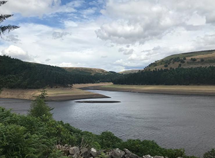
Improving the UK’s resilience to effects of climate change

Training/Event | 27.07.2021
Using drones to map habitats - on demand
Training/Event | 26.07.2021
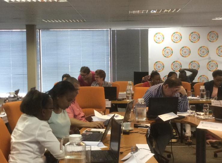
Radiological environmental protection - refresher

Case Study | 09.06.2021
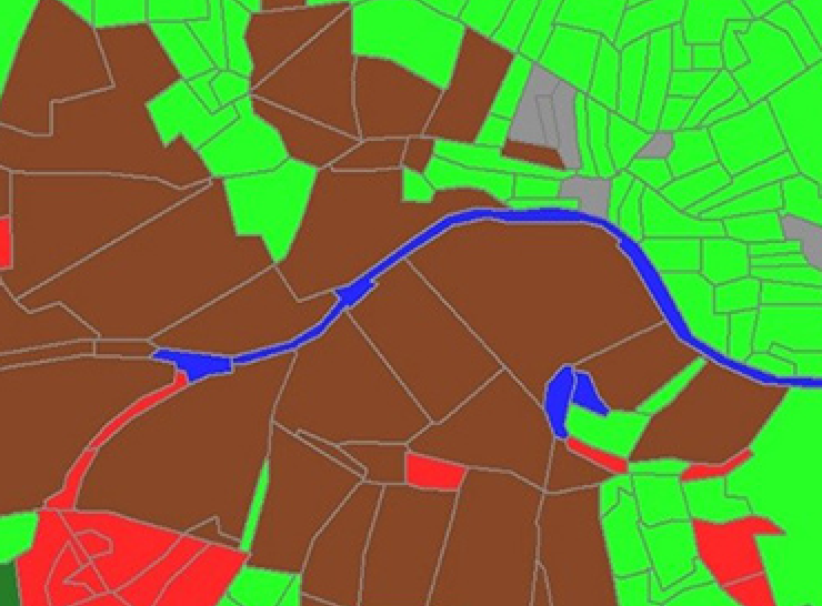
Informing government and business decision-making by mapping how land is used across the UK

Simple page | 06.04.2021
UKCEH Training Offer

Training/Event | 19.03.2021
Spatial analysis in QGIS and R - An introduction for environmental scientists
Simple page | 29.06.2020
UKCEH Land Cover Maps
Project | 23.04.2020
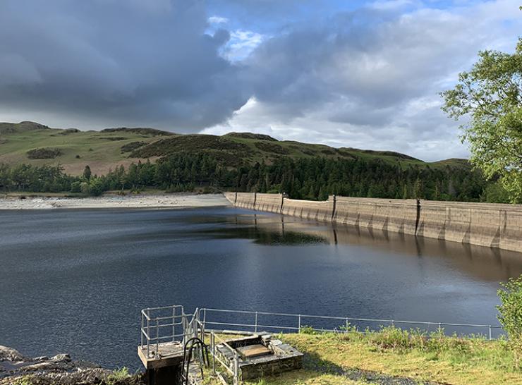
Reviewing Approaches for communicating Drought status And Risk (RADAR)
Training/Event | 25.02.2020
Mastering Ammonia measurement planning

Training/Event | 17.12.2018
Bayesian methods for ecological and environmental modelling

Training/Event | 27.09.2018
Linux appeal - Linux command line tools for fast file processing

Training/Event | 19.07.2018