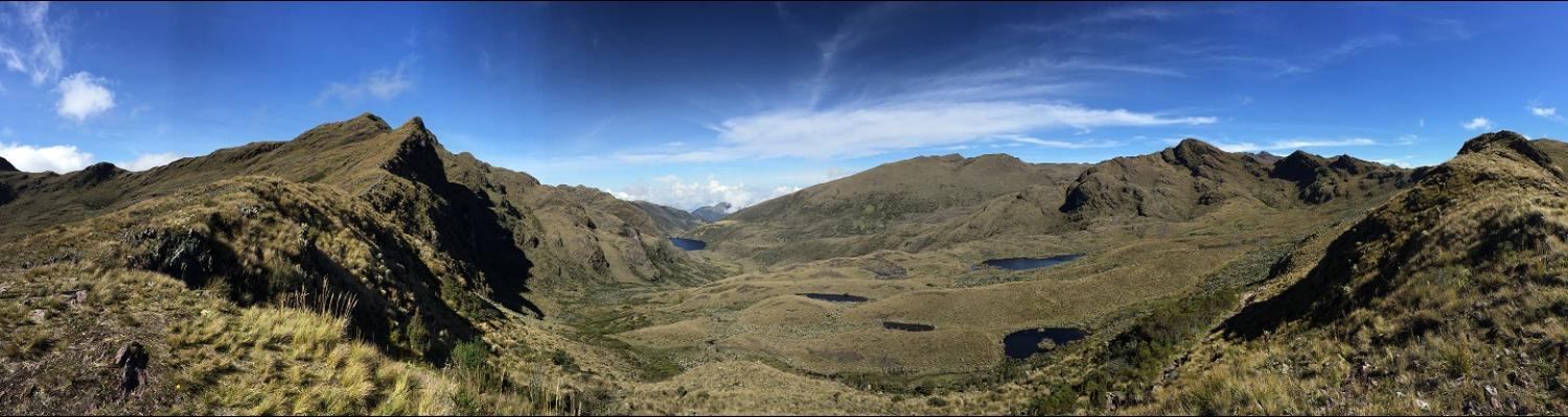
Páramo Guántiva-La Rusia
Our study area is the Páramo called Guántiva-La Rusia located in the Boyacá department of Colombia
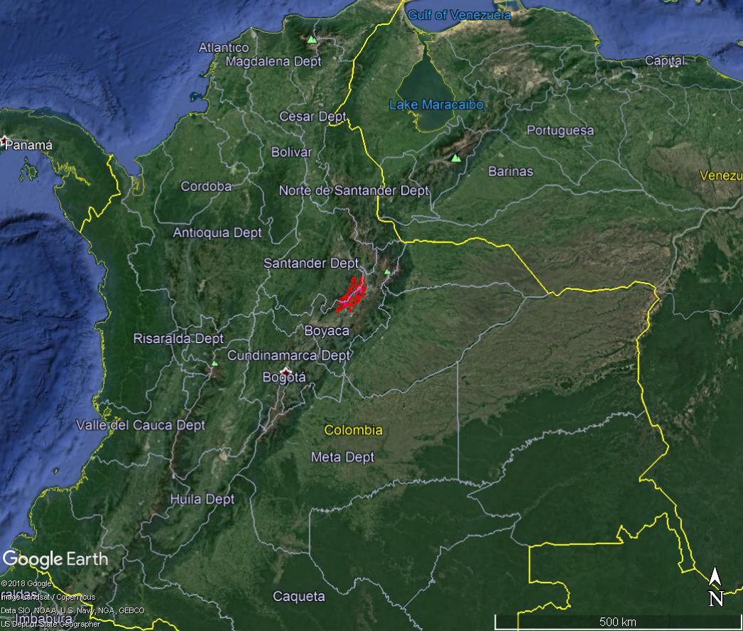
Within this area we have identified six pairs of pristine and impacted watersheds - referred to as micro-cuencas - located along a precipitation gradient, where the most southern micro-cuencas are the wettest and the most northern are the driest.
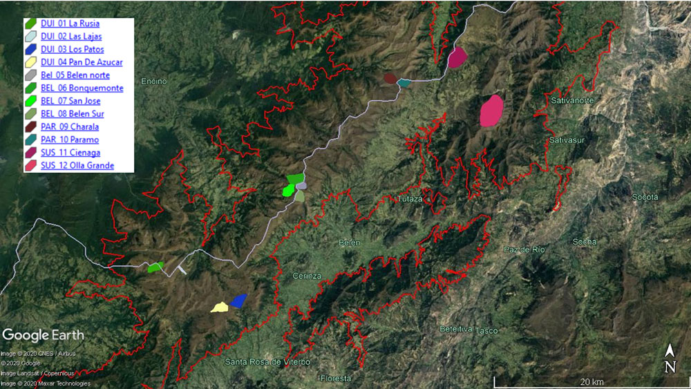
The sites will be contributing data to Regional Initiative for Hydrological Monitoring of Andean Ecosystems (iMHEA) network and detailed information for the individual micro-cuencas can be found on the iMHEA website.
The Regional Initiative for Hydrological Monitoring of Andean Ecosystems (iMHEA) is a network of organizations that aims to increase and strengthen knowledge about the hydrology of Andean ecosystems and to improve decision-making regarding the management of water resources and ecosystem services at the level of the Andean region