Scientific challenge

Predicting combined effects of multiple coastal hazards on an island nation of connected coastal habitats

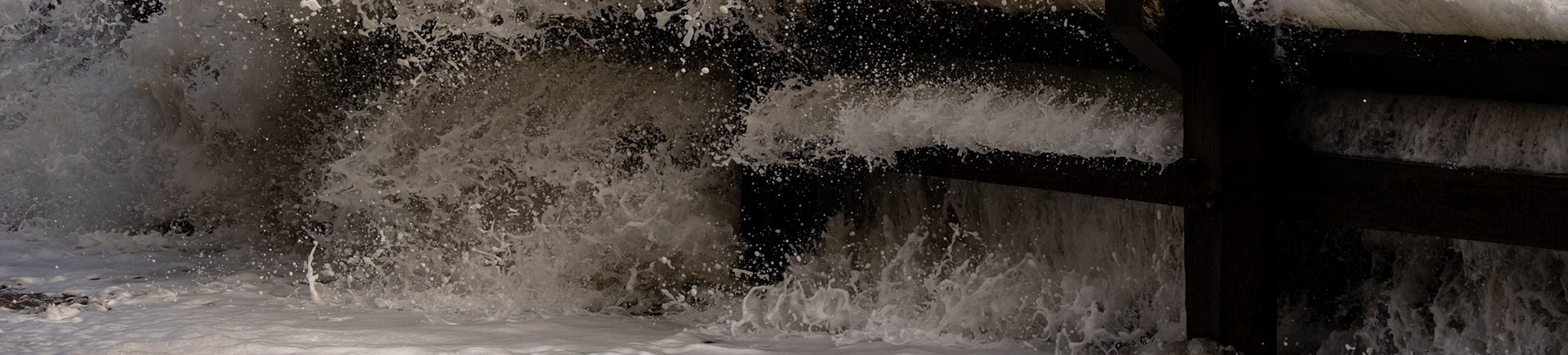
Coastal hazards such as sea level rise, storm frequency and flooding are projected to increase with global warming. The effects of combined multi-hazards at coastal interfaces where land, rivers, oceans, seabed and atmosphere meet is not yet well understood.

Coastal flooding and erosion are significantly controlled by local habitats including saltmarshes, seagrass beds and kelp forests, some of which provide protection such as wave dampening. Issues with hard-engineered coastal defences have driven advocacy of these "natural solutions" but what will their capability and resilience be in the long term?

CHAMFER brings together expertise from UKCEH, the British Geological Survey (BGS) and the National Oceanography Centre (NOC) to model how multi-hazards control coastal flooding and erosion in response to climate change over the next 100 years.

Objectives

  1. Characterise how multiple terrestrial and marine hazards control conditions responsible for coastal flooding and erosion
  2. Characterise the protective services and vulnerability of multiple coastal habitats to climate driven multi-hazards
  3. Characterise the protection offered by coastal management options that work with nature
  4. Provide a new integrated system of analysis for coastal hazards and simulations under different future scenarios
  5. Engage with government, public sector and industry users to inform coastal adaptation and resilience


Methods

  • Adapt, refine and combine modelling platforms such as CoastalME with models of the terrestrial water cycle (HydroJULES), storm surge and wave models (NEMO-WWIII), historical and future climate models (eg. UKCP18, ERA5, HadGEM3-HH).
  • Produce detailed habitat maps and observations of coastal assemblages using aerial drone surveys and ground-based surveys, including life history data for understanding resilience of key species and habitats.
Image
A cartoon of a coastline where rivers, clouds, mountains and the sea meet. Icons of models include UM, the atmospheric model; Oasis, which couples ocean-atmosphere, land-atmosphere and land-ocean interactions; JULES, the land model; and NEMO, the ocean model.


Outputs

Modelling future ecosystem resilience and vulnerability

CHAMFER will produce an integrated model of interactions between meteorological events, climate variability and coastal management and a projection of the resilience and vulnerability of UK coastal habitats under different scenarios over the next century.

Understanding how habitat connectivity affects the resilience and vulnerability to climate change will be vital for understanding the long-term capability of coastal habitats as nature-based solutions for coastal protection and other services.


UKCEH people

UKCEH lead and WP2 lead (Protective services and vulnerability of UK coastal habitats to climate driven multi-hazards)
Joanna Harley
Coastal ecologist
Coastal ecosystem scientist
Land surface modeller

Funding

This £2.7million project is funded by the NERC National Capability Multi-Centre Science programme, which aims to enable an ambitious, integrated approach to large-scale research challenges.

Partners