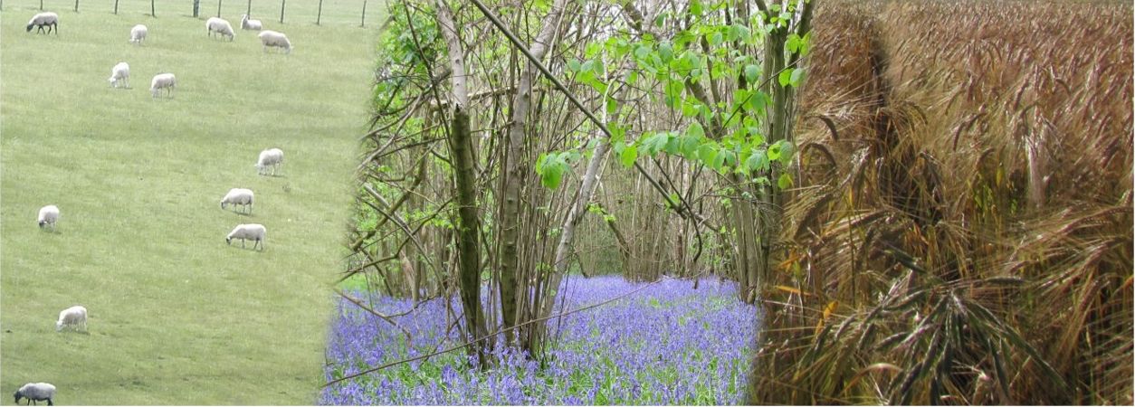
ASSET explores the impacts of potential changes in the way we use the UK countryside. You can use ASSET to compare the ways in which future changes in the types of land we have (e.g. farmland, grassland, forest) and the way we use them (e.g. which crops we grow, what we use our forests for) might affect society and the environment. ASSET can also help you discover the kinds of issues, datasets and models that scientists in the ASSIST project are tackling to help shape the future of sustainable agriculture in the UK.
The latest version of ASSET now contains 5200 possible combinations of land cover and land use change scenarios and 12 measures of impact on society and the environment. Get started by clicking on the launch button below.

What are scenarios?
ASSET was built to explore scenarios of future changes at broad national and regional scales. Scenarios are plausible storylines about the future - rather than attempting to predict exactly what will happen, the aim of scenarios is to better understand the range of potential outcomes and trade-offs between different responses. This is important for informing people about the impacts of possible changes and contributes to develop management strategies and policies.
How does ASSET work?
ASSET works by building new scenarios of land cover and land use and then modelling their impacts on a series of environmental outcomes. An easy-to-use interface then allows the user to explore these. There are also information icons within ASSET which you can use to help you understand what’s what. For further information, we've summarised what the different land cover and crop scenarios mean and given some detail for each of the different variables modelled under ASSET.

What scale does ASSET work at?
ASSET is based on the dominant land cover or crop type per 1 km cell. At this scale, we have good data on what is likely to influence where changes might occur and on likely responses to change. Other parts of the ASSIST project are looking at the effect of finer-scale changes in the way we manage land at the field and farm scale.
What scenarios are there?
ASSET allows exploration of several different scenarios. One scenario can be chosen for each of Agricultural Land Cover, Afforestation, Crops and Grassland management. Because the agricultural and afforestation scenarios can also be explored at 6 levels of change (5%, 10%, 15%, 20%, 25% and 30%) there are over 5200 possible combinations to explore!
The land cover change scenarios all use the UKCEH Land Cover Map 2007 as a baseline, along with information on land suitability from the agricultural land classification and other factors. We then used custom adaptations of the InVEST Scenario Generator tool to turn these data into future scenarios.
Agricultural land cover scenarios
Agricultural expansion: Conversion of grassland to arable use and improvement of semi-natural grassland. Likelihood of change determined by the patterns of land use conversion already seen over the 20th century and the suitability of the land for agricultural production
Grassland expansion: Expansion of grasslands, such that arable land can become improved grassland and improved grassland can undergo reversion to semi-natural grassland. This scenario is more hypothetical, as there is very little data on areas of the UK which have historically undergone such change
Use the slider to change the percentage expansion in either of these scenarios. Leaving the slider at zero indicates no change in land cover from the present day.
Afforestation scenarios
Bioenergy: Expansion of forest for bioenergy (short rotation native broadleaf), determined by suitability of land and existing bioenergy infrastructure
Environmental benefit: Expansion of forest for environmental benefit determined by enhancement of forest connectivity, potential to help prevent runoff and flooding, and potential to improve public access to forested areas
Commercial timber: Expansion of forest for commercial timber production (mixed coniferous and broadleaf) determined by suitability of land and existing commercial forestry infrastructure
Agroforestry: Expansion of agroforestry on arable and pasture systems, determined by high-quality agricultural land at risk of soil erosion and landscape with a historically high coverage of wooded elements to the landscape (e.g. hedgerows, traditional orchards and small woodlands)
Use the slider to change the percentage expansion in the chosen scenario. Leaving the slider at zero indicates no change in land cover from the present day.
Cropping scenarios
Same as today: Retain the current cropping pattern
Intensive: Convert all viable areas to simplified regimes dominated by cereals on short rotation. This scenario is likely to maximise both profit and food production, but is also likely to require high agricultural inputs and new technologies
Extensive: Widespread conversion to low-intensity systems, including increased spring cropping, overwinter stubbles and rotations including temporary grass and fallows. This scenario could result from a widespread desire for biodiversity conservation or to minimise agricultural inputs
Diverse: Where possible, convert to systems involving multiple crops in the rotation. This scenario is likely to result from farmers attempting to diversify their operations in order to spread risk, meet market forces or gain rotational control of crop pests
Cropping scenarios were derived by expanding or contracting the relevant mapped cropping classes under the chosen scenario, wherever the land was suitable to do so. Baseline cropping data were obtained by classifying the CEH Land Cover® plus: Crops map into eight basic cropping classes based on the proportions of crop types per 1km square. All changes were modelled using custom adaptations of the InVEST Scenario Generator tool.
Grassland management scenarios
Same as today: Retain the current grassland management pattern.
Intensive: Increase stocking rates, shift to intensive beef and dairy on highly improved pastures
Extensive: Reduce stocking rates, shift to less intensive dairy and sheep
Diverse: Shift to mixed systems with intermediate stocking of beef, dairy and sheep
Grassland management scenarios were derived by expanding or contracting the relevant mapped management classes under the chosen scenario, wherever the land is suitable to do so. Baseline cropping data were obtained by classifying AgCensus stocking rate data into basic classes based on the stocking rates of different livestock on different grassland types per 1km square. All changes were modelled using custom adaptations of the InVEST Scenario Generator tool.
What impacts on society and the environment does ASSET model?
The ASSET response graph shows impact on 12 different variables as a percentage difference from the baseline (the current patterns of land cover, crop types and grassland management). All the responses are measured in such a way that an increase is ‘good’ whilst a decrease is ‘bad’. Hovering over the bars will give you a brief description of the variable, information on units of measurement, and the percentage change and the actual value shown by the bar. For more information about how the impacts are modelled, read on.
Calories

Total calorific value (millions of kilocalories) from arable crops and livestock pastures, estimated from Farm Business Survey, AHDB, Composition of Foods Integrated Dataset and FAO data. Values averaged over 2015-2019. This is an indication of change in food production under the chosen scenario.
Income

Total income (millions of pounds) from arable crops and livestock pastures, estimated from Farm Business Survey and AHDB data. Values averaged over 2015-2019. This is an indication of economic impact of the chosen scenario.
Soil carbon

Total stored topsoil carbon (millions of tonnes), modelled from Countryside Survey soil samples. This is an indication of the impact of the chosen scenario on carbon storage.
Nitrogen retention

Total tonnage (kilotonnes per year) of nitrogen runoff prevented from entering watercourses. Modelled using the InVEST Nutrient Delivery Ratio model using published data. Nitrogen runoff is important because increased runoff carries increased risks of eutrophication, risks to human health and increased costs of water treatment.
Phosphorus retention

Total tonnage (kilotonnes per year) of phosphorus runoff prevented from entering watercourses. Modelled using the InVEST Nutrient Delivery Ratio model using published data. Phosphorus runoff is important because increased runoff carries increased risks of damage to freshwater habitats via eutrophication and increased costs of water treatment.
Pollinator richness

Average number of pollinating bee species per 10 km cell. Derived from species distribution models using BWARS pollinator data. Pollinators are important as they affect yield and quality of some crops and are vital to wildflowers.
Natural enemy richness

Average number of pest-predatory (“natural enemy”) beetle species per 10 km cell. Derived from species distribution models using UK ground beetle and ladybird data. Natural enemies help to regulate crop pests such as aphids, caterpillars and slugs, and are an important part of integrated pest management
Connectivity (woodland/grassland)

A measure of how well connected patches of semi-natural habitats are. Defined as the average inverse cost-weighted distance between 1 km cells of semi-natural habitat and the closest 10 other cells. Connectivity is important for the viability of species populations as it determines whether they can find new habitat patches to feed, establish territories or find mates. It is calculated separately for semi-natural grassland and broadleaf woodland.
Birds (farmland/woodland)


Average abundance of bird indicator species per 1 km cell. These were derived from models based on the British Trust for Ornithology Breeding Birds Survey
Aesthetics

This is a measure of how people view and value the landscape. It is based on the diversity of land cover types within the area visible from a random selection of viewpoints (from Ordnance Survey open data). This has been found to influence the values people place on locations for recreation in published studies.