Visitors to the Centre for Ecology & Hydrology stand at this month's industry-leading Cereals Event took a tour through future farmed landscapes using immersive virtual reality, as well as being given the chance to learn what the ASSIST sustainable agriculture project can deliver.
We're up and running at #Cereals18! Visit stand 246 for a tour through future farmed landscapes using immersive virtual reality and play out scenarios about land use and agricultural intensification using #ASSISTagri tools & data #farming #environment #innovation #landuse pic.twitter.com/pqHVtD7isv
— CEH Science News (@CEHScienceNews) June 13, 2018
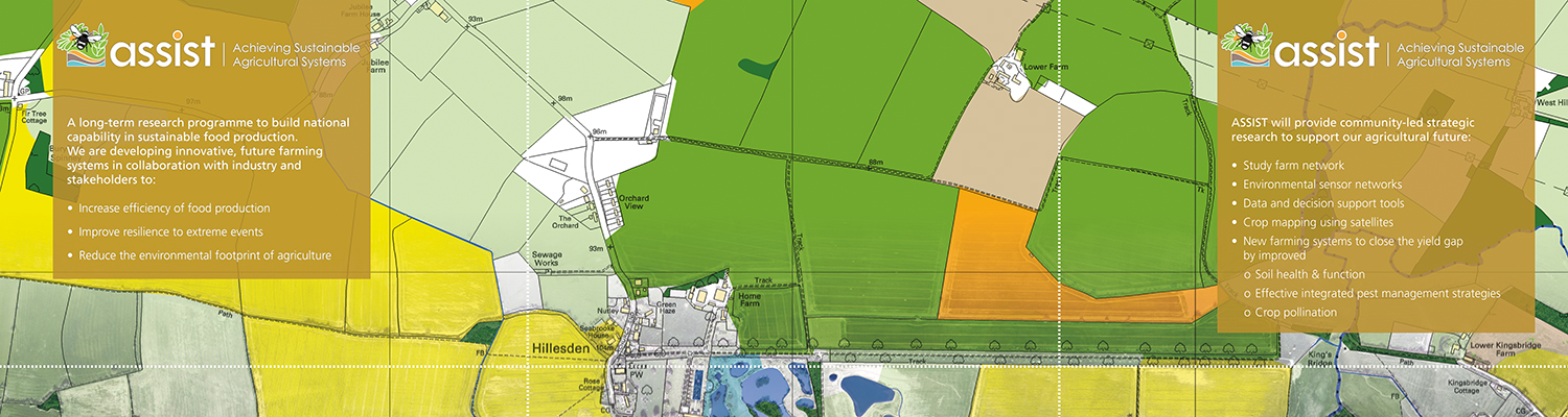
The long-term ASSIST research programme, led by CEH in collaboration with Rothamsted Research and British Geological Survey, is combining spatial and agriculutural ecology in innovative ways.
Our version of Minecraft, CEH Craft, using CEH Land Cover® Map and CEH Crop Map data, was a definite hit. It represents the farmed landscape as it is now and how it might change in the future – including the habitats, crops, animals and buildings in VR. One of its creators Dr Tom August was on hand to guide users.
Attending #Cereals18 next week? Join CEH scientists for a tour through future farmed landscapes using immersive virtual reality! Visit #ASSISTagri on Stand 246 #farming #Sustainability #environment #foodsecurity #innovation #VR https://t.co/QcRn2jcamw pic.twitter.com/s96l89CgCg
— CEH Science News (@CEHScienceNews) June 6, 2018
Also on show was the ASSIST Scenario Exploration Tool which allows users to explore the impacts of potential changes in the way we farm the British landscape. Main developer John Redhead showed visitors what the tool can deliver.
Visit #Cereals18 stand 246 next week to see the #ASSISTagri Scenario Exploration Tool in use - explore the impacts of changes in the way we use the UK countryside for #farming. See more with the guided tour https://t.co/AKCS6hmlZo or explore the tool https://t.co/vnvLHOykpe pic.twitter.com/bkkRqc6zoE
— CEH Science News (@CEHScienceNews) June 8, 2018
Had fun today showcasing CEH mapping products using #VR and the ASSET tool (https://t.co/jAIIWsseEz) https://t.co/3othhdQQI8
— John Redhead (@RedheadGIS) June 21, 2018
There was also an opportunity to see the Data Combine benchmarking tool from ASSIST partners Agrimetrics.
See how benchmarking tool Data Combine is being used by farmers in ASSIST project @CEHScienceNews @Rothamsted @BritGeoSurvey which is quantifying impact of different enviro & agronomic factors on yield to highlight best interventions @Cereals stand 246 https://t.co/XcHngCF6hp
— Agrimetrics (@Agrimetrics) June 12, 2018
Professor Richard Pywell, CEH's Head of Biodiversity science, was among the team at our Cereals stand. He said, "Farmers play a vital role in shaping and managing our countryside.
"The Minecraft tool is one of many ways we are working with farmers to design and visualise new commercial farming systems that are sustainable and resilient to future shocks."
See more from the event via our Cereals 2018 Twitter Moment.
Videos
Watch a longer video introducing the ASSIST programme
View a walkthrough of the ASSIST Scenario Exploration Tool