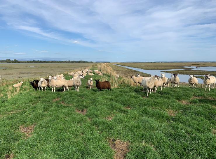
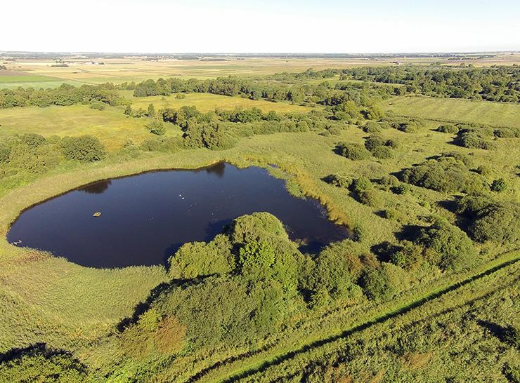
Project | 13.07.2023
The WWF Saltmarsh Research Platform
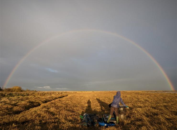
Project | 13.07.2023
The WWF Essex Saltmarsh Chronosequence study
Publication | 10.07.2023
Downscaling satellite night-time lights imagery to support within-city applications using a spatially non-stationary model
Publication | 07.07.2023
Spatial heterogeneity of vegetation phenology caused by urbanization in China based on remote sensing
News | 07.07.2023
Overcoming financial barriers for paludiculture adoption
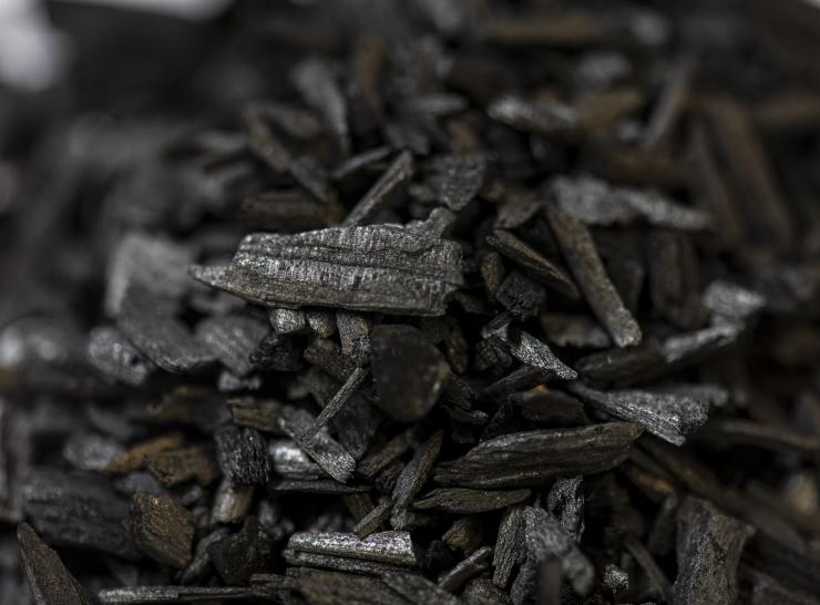
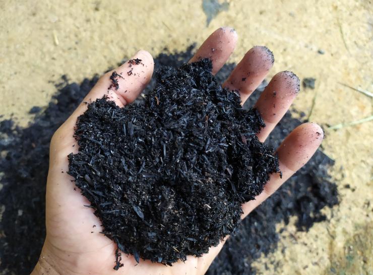
Project | 06.07.2023
PEF-Biochar
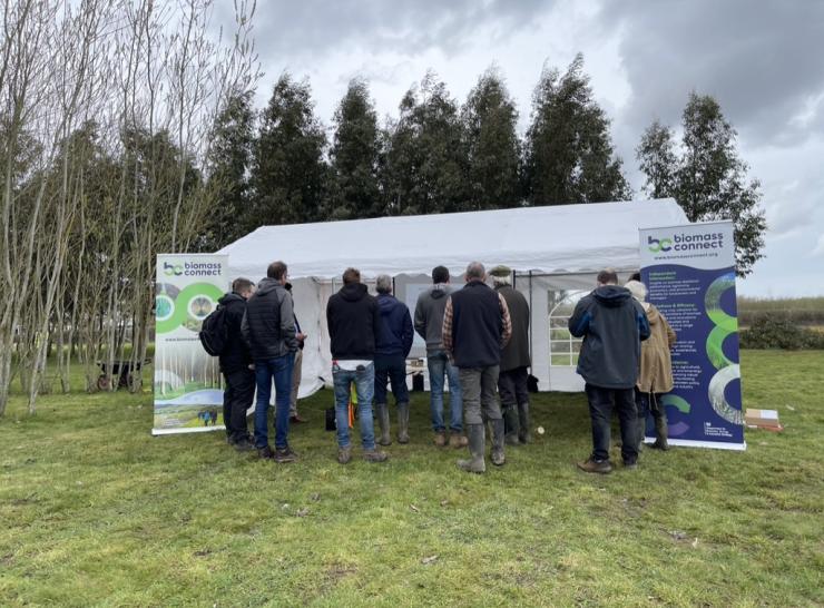
Project | 24.06.2023
Biomass Connect
News | 23.06.2023
Providing a vision for ‘wet farming’ on peatlands
Publication | 19.06.2023
UK DNA working group eDNA week, January 2022
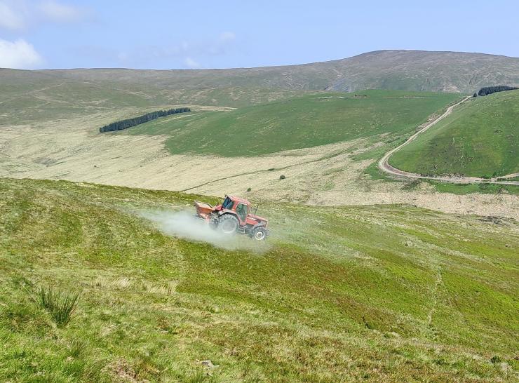
Press release | 30.05.2023
Trials will investigate if rock dust can combat climate crisis
Publication | 26.05.2023
Aligning the Peatland Code with the UK Peatland Inventory [Final report]
Publication | 16.05.2023