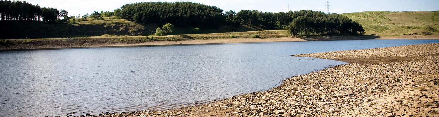
Hydrological situation monitoring and early warning is crucial for water resources management, mitigation of hazards (eg flooding, landslides) and planning for agriculture and numerous economic sectors. Such monitoring is well established in the UK: the National Hydrological Monitoring Programme began in 1988 and the Environment Agency routinely produces monthly Water Situation Reports, while a Hydrological Outlook was launched in 2013.
Despite the richness of the data resource, the needs of many stakeholders are not met by existing programmes. Many stakeholders require information on components of the hydrological cycle that are not well monitored, particularly soil moisture and related vegetation status. Moreover, current programmes typically provide reports showing regional or national scale indicators, or for particular observation points, and they are generally provided at weekly or monthly updates. Increasingly, stakeholders require high spatial and temporal resolution information for local-scale planning, delivered close to real-time.
Hydrological situation monitoring and early warning is crucial for water resources management, mitigation of hazards and planning for agriculture and numerous economic sectors
There is significant potential to enhance hydrological situation monitoring through the use of Earth Observations (EO), a major under-utilised resource in current monitoring programmes. EO information has the benefit of being spatially continuous, timely (near real-time) and readily available. EO information also has the potential to improve hydrological forecasts provided through the Hydrological Outlook and other programmes, by offering scope for data assimilation using EO information, particularly soil moisture status. Finally, development of EO-based services for these purposes is very timely; capitalising on the Sentinel missions offers scope for step improvements in resolution and timeliness of EO information, and any advances made now could become embedded in long-term practice due to the guaranteed continuity (20 years) of these missions.


")

