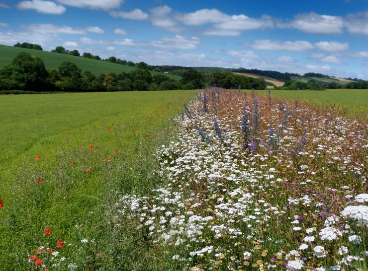
Press release | 18.06.2026
Scientists offer free farm health checks
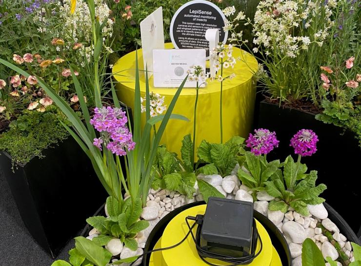
News | 28.05.2026
Engaging at Chelsea with UKCEH Nature Decoded
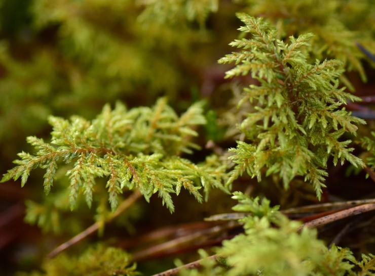
Blog | 10.04.2026
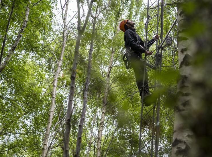
Microplastics taken on the breeze found in mosses across UK
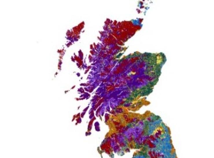
News | 01.04.2026
New high-resolution soil maps will support on-farm decision-making
Publication | 28.01.2026
Condition assessment of historic assets from the Environment and Rural Affairs Monitoring & Modelling Programme, Wales, 2021-2023
Publication | 28.01.2026
Headwater stream quality metrics from the Environment and Rural Affairs Monitoring & Modelling Programme, Wales, 2021-2023
Publication | 20.01.2026
Headwater stream erosion data from the Environment and Rural Affairs Monitoring & Modelling Programme, Wales, 2021-2023
Publication | 08.01.2026
Woody landscape and habitat features from the Environment and Rural Affairs Monitoring & Modelling Programme, Wales, 2021-2023
Publication | 08.01.2026
Vegetation plot data from the Environment and Rural Affairs Monitoring & Modelling Programme, Wales, 2021-2023
Publication | 08.01.2026
Pond quality metrics from the Environment and Rural Affairs Monitoring & Modelling Programme, Wales, 2021-2023
News | 12.12.2025
National Environmental Monitoring Conference 2025

News | 28.11.2025