Background
The details of how the atmosphere responds to vegetation is an area of significant scientific debate. There is evidence that clearing patches of forest may increase rainfall over the cleared area and reduce it over the remaining forest, depending on the particular weather patterns. On the other hand, new results have shown that as air masses cross the continent, they pick up additional moisture from forests, which then leads to more rain several hundred kilometres further downwind. Finally, by controlling the balance between heating and moistening of the atmosphere, the vegetation can affect the winds bringing moist air off the ocean, delaying or extending the rainy and dry seasons which characterise tropical climate.
Although these vegetation effects are known to be important individually for predicting weather and climate change in the tropics, there is uncertainty about how they work in combination. We have little confidence in current computer model projections of how climate will change at regional scales. This is partly due to large and long-standing uncertainties in the description of cumulonimbus storms (thunderstorms, which dominate the rainfall of many tropical regions) within the models. However through recent advances in computing power, we are now able to run these models for entire seasons with sufficient spatial detail to properly capture storms.
Project overview
In this collaborative project between UKCEH and the University of Leeds we used data from satellites and the latest weather and climate models to get to the heart of how vegetation affects rainfall. Focusing on West Africa, we examined cloud and vegetation observations from the last 30 years to detect where deforestation has changed rainfall, and how the rapid greening of the savannah each year affects the monsoon rains. We performed new computer simulations, incorporating the detailed development of thousands of individual storms, and examined what happens when we artificially deforest a region in the model. We examined how the less-detailed computer simulations used for climate change projections actually capture the effects of vegetation.


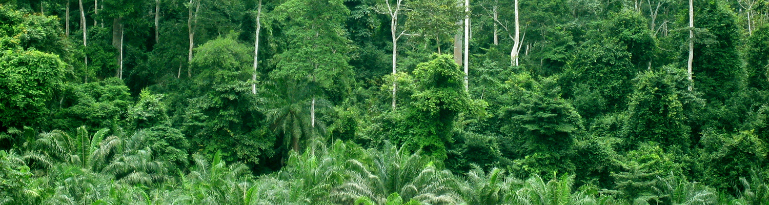
Above left: The forested region of Tai National Park (centre of the image) in a cloud-free satellite image. Image source: NASA Worldview.
Above right: Cloud-free area above the northern part of Tai National Park and forested regions to the west. Image source: NASA Worldview.
