River pollution is a major threat to water quality and ecosystems, and understanding pollution sources and how they mix is vital to creating effective pollution management. Alex O’Brien tells us about a project testing a new approach to tracing where the pollution comes from…
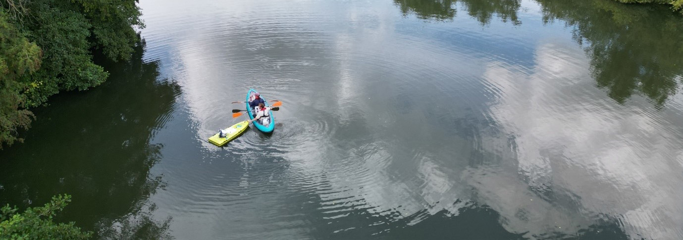
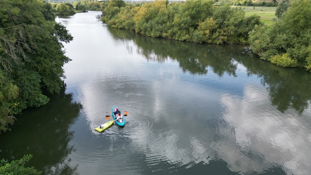
I’m part of a team of scientists from UKCEH and the British Geological Survey (BGS) involved in a sampling campaign on the Thames to trial a novel integrated method to river sampling. We’re using this approach to investigate nutrient sources and in-stream processes related to pollution from three sources: combined sewer overflows (CSOs), sewage treatment works (STWs), and agricultural runoff.
The work is part of the NERC-funded large grant 'SMARTWATER', which is looking at pollution sources and events, how they impact river water quality in catchments, and how we can better predict and manage them.
A novel approach to river sampling
Most river monitoring is done by regularly sampling at a fixed point on the river, to understand how concentrations of pollutants such as excess nutrients change through time. However, this does not capture what happens to pollutants and the river chemistry as they flow downstream.
A sampling approach known as Lagrangian sampling, where we sample with the flow of the river to capture the movement of water downstream, is needed to investigate this effect. Given the complexity of river mixing, using multiple methods together simultaneously will help to unpick these complex processes.
Our river survey covered a stretch of the Thames surrounded by agricultural fields, and an output stream from an STW. Measurements of nutrient isotopic tracers were combined with mapping of nutrient concentrations to help paint this complex picture.
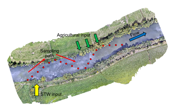
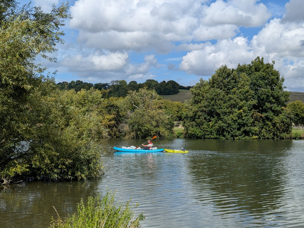
We planned to combine three different survey methods: in-river sampling from a kayak, the remote-controlled ARC-Boat equipped with water quality sondes, an Acoustic Doppler Current Profiler and GPS for bathymetric mapping, and an infrared imaging drone survey. It was a lot to coordinate!
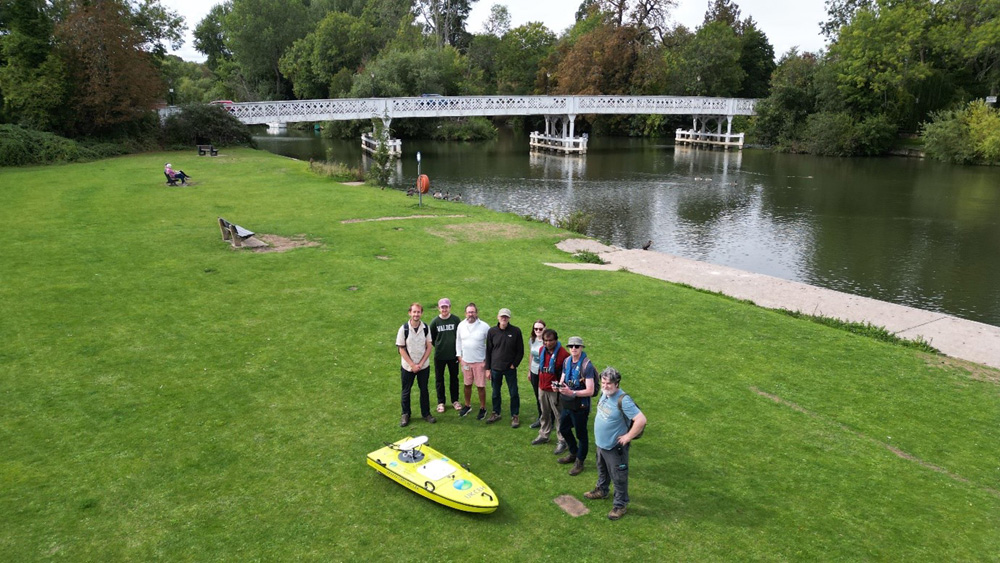
It started with a 15-minute walk downstream for those of us on land, and a relaxing kayak down the river for our BGS colleagues James Sorensen and Patrick Harrison. Meanwhile UKCEH colleagues Nick Everard and Ponnambalam Rameshwaran piloted the ARC Boat downstream alongside the kayakers, and Cedric Laize started prepping the drone for flight. Myself, Daren Gooddy, and Mike Bowes were on hand to coordinate the teams, collect samples dropped off by James and Patrick, and act as drone safety assistants.
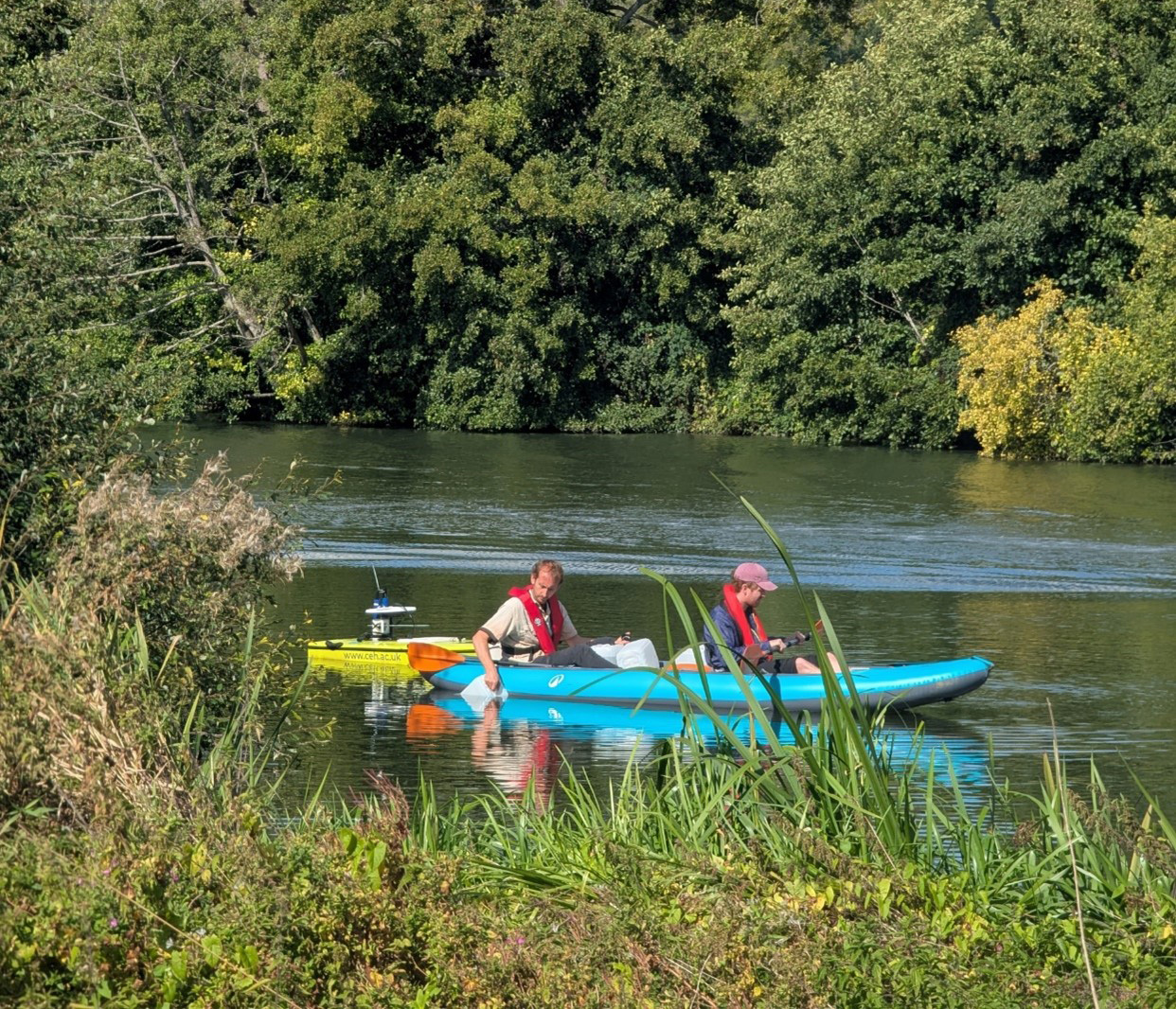
Over the course of an hour, 20 samples were collected by the kayak team, while the ARC-boat team followed closely behind collecting data, tracing the path of the kayak. Meanwhile, Cedric performed the drone survey of the same stretch of river, capturing valuable thermal imaging data of the surface flow.
It was a well-coordinated success. After some creative logistics to transport the samples upstream to the car park, both samples and equipment were taken back to UKCEH. The samples collected by the kayak team will be subsampled for fluorescence and inorganic chemistry analysis at UKCEH, with the remainder being processed for nutrient isotope analyses at the National Environmental Isotope Facility in Keyworth.
What's next?
The next challenge will be to bring together the wealth of data that was collected to create a larger picture of how pollution moves and mixes in the river. We hope that the isotopic signatures will demonstrate the path the pollution sources take, and the additional measurements made will provide greater insight into how river water quality is impacted downstream of sources. We will aim to repeat this campaign during the winter or early spring, during a different seasonal flow regime.
The wealth of expertise brought by the whole team will no doubt lead to exciting results.
Alex O'Brien
More information
SMARTWATER project site
Campaign lead: Daren Gooddy