
Our vision - Connecting environmental data, methods and tools for discovery and reuse
Our land, air, and freshwater environments are dynamic systems that interact in complex ways. Understanding them means studying these connections, not only the parts in isolation. Yet the data and methods needed to do so are often fragmented, hard to find and access, and difficult to reuse — sitting in separate systems and formats, developed by different teams for different purposes. This forces researchers to reinvent methods or limit their ambitions rather than build on existing work, making it hard to study the environment as a single, interconnected system. Left unaddressed, such barriers could restrict efforts to drive innovation, inform policy, and accelerate progress toward a resilient and sustainable future.
NC-UK pioneers next-generation digital infrastructure and data science techniques to bring together environmental data across systems.
The NC-UK Digital Research Infrastructure (DRI) delivers open-science tools that support a seamless research journey, from identifying and understanding relevant datasets through to discovering appropriate methods and running them in a reproducible compute environment. It brings together a suite of integrated tools that (see below) improve the discovery, accessibility and reuse of environmental digital objectives — including datasets, methods, and web-based tools. Built around FAIR principles (Findable, Accessible, Interoperable, and Reusable), the DRI treats high-quality metadata, enhanced data discoverability, and reusable methods as parts of a single integrated ecosystem, so that datasets, models, and analytical approaches reinforce one another rather than sitting in isolation.
A key part of this ecosystem is the Environmental Data Science Toolbox, a curated, open collection of data science methods presented as interactive Jupyter notebooks. Researchers can step through each method, adapt it to their own data, and reproduce the analysis, making methods easier to find, understand, and build on. Together, these tools create a connected digital research infrastructure that makes environmental data, methods and research outputs easier to discover, understand and reuse, helping researchers tackle today's environmental challenges more effectively.
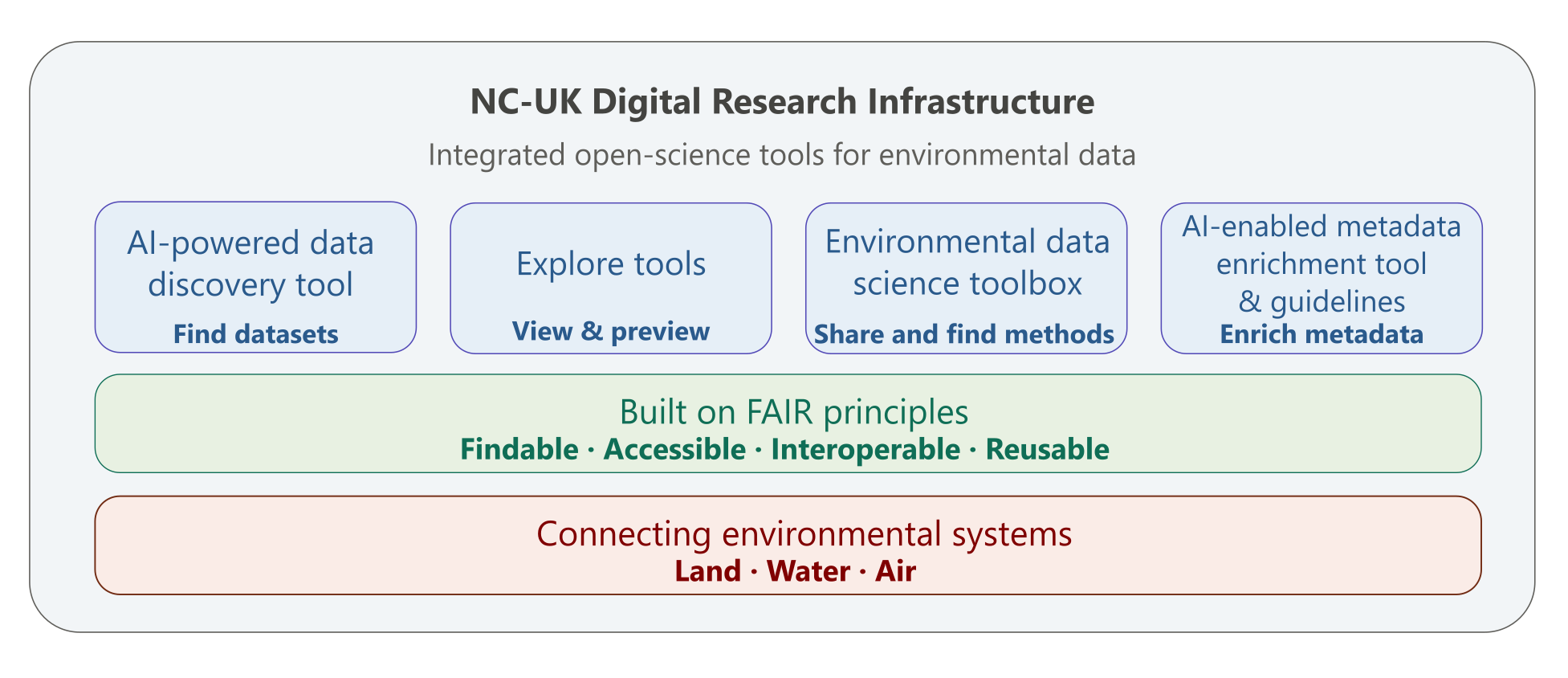
How the DRI supports your research journey
The ecosystem of tools supports scientists and users of scientific outputs throughout the research journey . This journey can be thought of as five key stages: Discover, Explore, Analyse, Share and Reuse. Research is often an iterative process, so users will often revisit earlier stages as their work develops.
To illustrate this, imagine a researcher looking at habitat condition. They might begin by using the AI-enhanced dataset search tool to discover relevant datasets. They can then explore the available data using tools such as the Spatial Explorer and Data Previewer to assess its suitability for their work.
Once they have identified the right data they need, they can use methods and workflows from the Environmental Data Science Toolbox to analyse it and build on approaches developed by others. When sharing their outputs, clear metadata and well documented methods make it easier for others to find, understand and reuse their work.
We are also developing an AI-enabled metadata enrichment tool to help authors enrich metadata within the EIDC through automation, improving the quality and consistency of published datasets. Over time, these tools will help create a more connected, collaborative and reusable environmental research ecosystem.
Co-designing with the community
The NC-UK digital infrastructure is built with its users in mind and is being co-designed in partnership with the community.
Through participatory activities including workshops, surveys, focus groups, evaluation studies, and more, researchers and stakeholders play an active role in helping to shape new tools and services, helping to ensure they are practical, useful and relevant to real-world challenges.
What we've heard so far
In 2025, we held a series of stakeholder engagement events called ‘Community Conversations’ to help co-design the NC-UK digital developments with users and stakeholders. The insights gathered through these activities, summarised in the reports below are directly informing the development of our digital research infrastructure (DRI) and data science innovations. There will be further opportunities to get involved in future co-design activities.
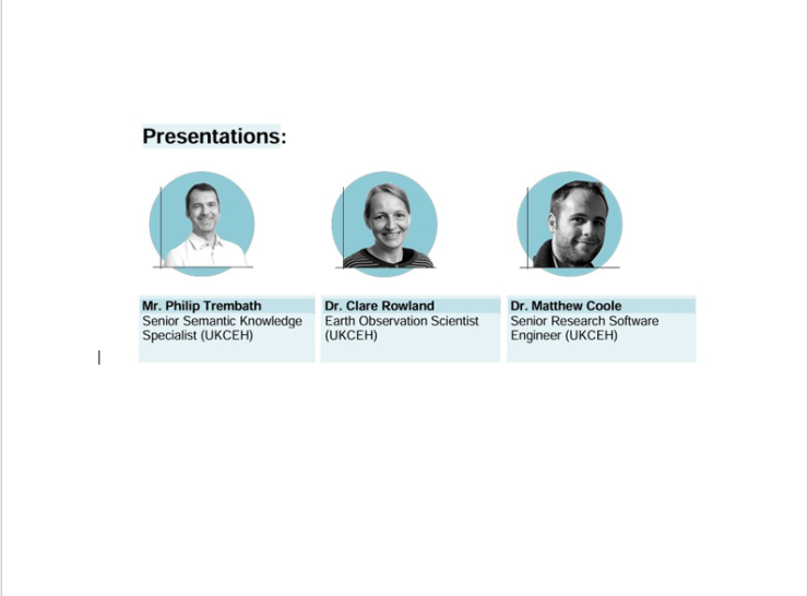
Enhancing discoverability and access to data
This community workshop showcased improvements to environmental data discoverability, including updates to the EIDC Catalogue, a new Spatial Data Explorer tool, and early exploration of AI-powered search for environmental datasets.
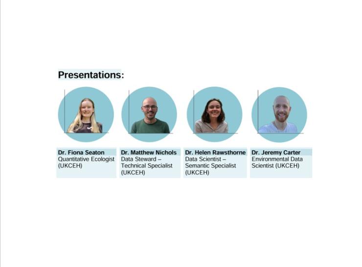
Enhancing discoverability and access to methods
The workshop introduced the Environmental Data Science Toolbox and gathered feedback on its design and content, Participants highlighted opportunities to improve metadata, documentation and accessibility across disciplines.
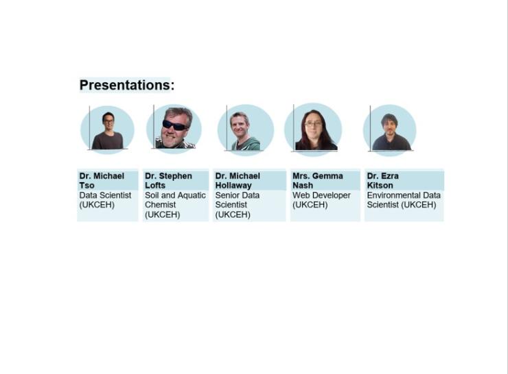
Enhancing discoverability and access to environmental exposure data & methods
The workshop presented plans and progress on the UK Environmental Exposure Hub and showcasing data science methods for analysing pollution data. Participants provided feedback on how environmental exposure data could be better connected across aquatic, atmospheric and terrestrial environments to improve understanding of the UK's chemical landscape.
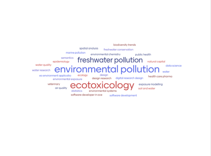
Reflections on our community engagement work in 2025
This report highlights lessons learned from our community engagement activities and identifies opportunities to improve future co-design approaches, including broadening participation, refining event formats and using engagement methods beyond workshops alone.
Image

Tool spotlight
Environmental Data Science Toolbox - discover and reuse methods
At UKCEH, we are committed to supporting the sharing of data science methods for environmental data. Through NC-UK, we are developing the Environmental Data Science Toolbox, a growing collection of methods, workflows and notebooks designed to help users make better use of environmental data.
The Toolbox makes it easier to discover, understand and apply data science approaches, helping researchers, policymakers and practitioners gain more value from environmental datasets. Each notebook includes clear, self-contained instructions on accessing and using the data.
We are committed to ensuring the Toolbox is open, accessible and useful to users from a wide range of sectors, organisations and levels of technical expertise.
Community involvement and contributions are warmly welcome.
Image
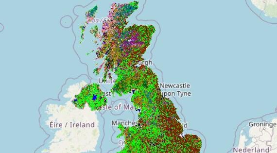
Spatial Explorer – easy-to-access insights for large spatial datasets
Environmental datasets are becoming increasingly detailed as advances in satellite imagery and mapping technology continue to improve spatial resolution. For example, the latest Land Cover Map can identify broad habitats, such as woodland and urban areas, at a resolution of 10 metres.
The Spatial Explorer allows users to view and explore these datasets without specialist software. Users can access statistics and visualisations showing how habitats vary across different parts of the UK, making environmental data more accessible to policymakers, NGOs, water companies, land managers and other users.
Additional datasets will be added to the Spatial Explorer over time, and it is already being enhanced with datasets from the AgZero+ programme.
Image
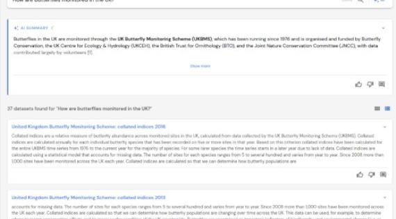
AI-powered dataset discovery
We are developing an AI-driven tool that helps users find datasets within the Environmental Information Data Centre (EIDC). Rather than relying on keywords like a traditional search, it understands the meaning behind your query. Using AI technologies such as Large Language Models (LLMs) and Retrieval Augmented Generation (RAG), users can search using normal language and discover datasets even when they are unsure of the exact keywords or search terms to use. It can also generate plain-language summaries and answer questions about available datasets, making it easier to explore the catalogue and identify relevant information even when you're not sure exactly what you're looking for.
The tool is still in development, and we welcome community feedback to help shape future improvements. See the Get Involved section below for details.
Work under NC-UK is now focusing on bringing these different developments together for a seamless journey for users. We are also working on the following DRI enhancements:

Data previewer
One challenge when working with environmental data is understanding what a dataset contains before downloading it. We are developing a Data Previewer that addresses this by allowing users to explore the structure and content of datasets directly within the catalogue.
This helps users quickly determine whether a dataset is suitable for their needs before investing time in downloading or processing files.
This helps users quickly determine whether a dataset is suitable for their needs before investing time in downloading or processing files.

Guidelines for method discovery
We are developing guidance to help researchers publish environmental data science methods in ways that improve discoverability, accessibility and reuse. The guidance focuses on better metadata, documentation and reporting practices to make methods easier for others to find and apply.
Get involved
We would love to hear from you! Contact us at nc-uk@ceh.ac.uk or get in touch with one of the team members listed below.
To receive updates and hear about future opportunities to contribute, join the NC-UK mailing list.

Lead for Digital Innovation

Head of Environmental Digital Strategy
Prof. Gordon Blair is Head of Environmental Digital Strategy at UKCEH. He is also a Distinguished Professor of Distributed Systems at Lancaster University where he holds a part-time post (20%). He is also Co-Director of the Centre of Excellence in Environmental Data Science (CEEDS), a joint initiative between UKCEH and Lancaster University.

Environmental Data Scientist
References
Widdicks, K., Samreen, F., Blair, G.S., Rennie, S., Watkins, J., 2024. A multi-dimensional approach to the future of digital research infrastructure for systemic environmental science. Patterns 5, 101092–101092. https://doi.org/10.1016/j.patter.2024.101092