E-Planner is a free, web-based tool to help farmers identify the most suitable places for different environmental management options via easy-to-use, interactive maps.
E-Planner uses satellite and aerial imagery with national-scale environmental datasets to assess the relative suitability of land for a range of different environmental outcomes. These include:
- Water resource protection
- Woodland creation
- Sown winter bird food
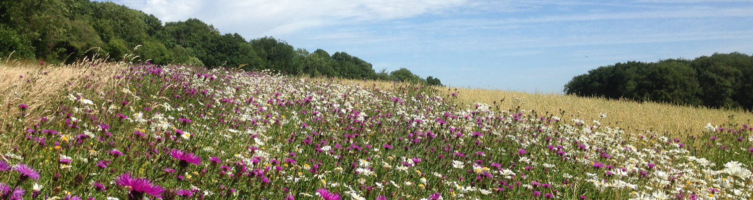
- Flower-rich pollinator habitats
- Wet grassland restoration
Suitability is based on combining data on factors such as topography, soils, nearby habitats and other landscape features. Suitability is then presented as easy-to-explore ‘heat maps’ for a chosen farm. The maps make it simple to compare the most suitable option for a given area of land or to find the most suitable location for a given option.
E-Planner supports farmer decisions by presenting complex environmental data in an easy to interpret way, to supplement their local knowledge. E-Planner also provides links to best practice guidance on how to implement and manage options.
Get started here or watch our short video to find out more: