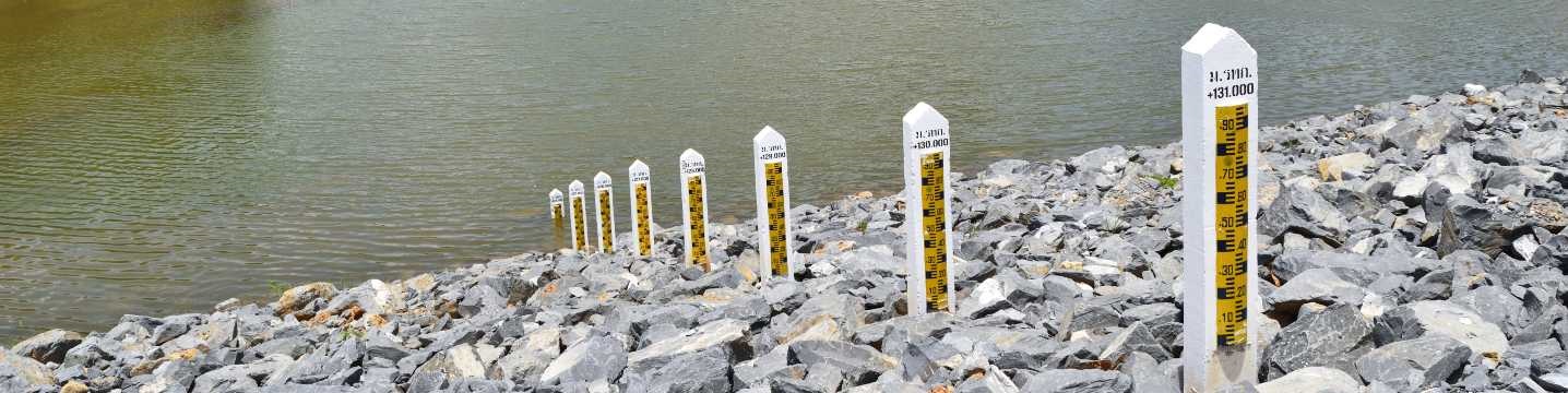
UKCEH has long-standing expertise in using data to monitor current hydrometeorology within the UK and internationally.

Our capability in this area includes:

  • Assessing the current and likely hydrometeorological conditions at national and larger scales, and their impact on the environment and society
  • Helping partners use information about current hydrometeorological conditions to inform  management and policy decisions.

Products: Hydrological Summary and Hydrological Outlook

The Hydrological Summary, produced monthly, describes hydrological conditions across the UK during the preceding month using the data holdings of the National River Flow Archive and National  Groundwater Level Archive and the cooperation of the Met Office and principal Measuring Authorities.

Each summary includes regional rainfall data – both recent and, where significant, longer term accumulations. Also featured are maps and representative hydrographs of soil moisture, river flow and groundwater levels with supporting summary statistics, and details of current stocks for a selection of major reservoirs.

The Hydrological Outlook, also published monthly, provides seasonal hydrological forecasts for the UK using a range of modelling and statistical analysis tools. Specifically, it describes likely future  trajectories for river flows and groundwater levels across the UK over the coming one to three months, to aid decision-makers who need to assess likely water availability or potential flood risk.

Hydrological Summary >

Hydrological Outlook >

Case study: HydroSOS: WMO Hydrological Status and Outlook System

UKCEH is coordinating the development of HydroSOS, the WMO’s Hydrological Status and Outlook  System.

When implemented, HydroSOS will be the first global operational system for integrating hydrological status assessments and outlooks from and for National Meteorological and Hydrological  Services around the world, in collaboration with river basin organisations and global modelling centres.

HydroSOS will help National Meteorological and Hydrological Services to better assess the status of river basins and predict future conditions. The system will support them to develop enhanced hydrological information products for diverse users including the agriculture industry, energy and water sectors, and the general public.

A demonstration web service is available. 

Case study: Enhancing drought monitoring and early warning systems in Europe, the USA and Australia

Traditional drought monitoring and early warning (MEW) systems do not link drought indicators such as rainfall, water storage levels and soil moisture to the potential impacts of droughts on people and  society.

Through the DRIVER research project, funded by the Belmont Forum’s Freshwater Security Theme,  UKCEH, in collaboration with a network of partners, identified ways to improve the design and operation of MEW systems in Europe, the USA and Australia, by better linking drought indicators with drought  impacts.

Our work highlighted key themes for MEW design and use, including consideration of different types of droughts, indicators and impacts, uncertainty, capacity and decision making, communications, and governance. We identified ways in which MEW systems could embrace greater complexity and  recommended ways to tailor messaging about droughts for different audiences.

Case study: Linking drought indices to drought impacts in Liaoning Province, China

Drought affects 29 million people each year in China. We worked with Chinese scientists at the Institute of Water Resources and Hydropower Research to develop improved tools for drought monitoring, early warning and risk assessment. A particular focus of our work was Liaoning Province in northeast China, a region with significant agricultural production which has suffered a number of severe droughts in recent decades.

China has a comprehensive archive of drought impact information, and so with our partners we were  able to statistically quantify the relationship between drought indices and drought impact data, to identify which indices best represented various types of drought impacts, such as reduced access to drinking water or reduced agricultural production. We used vulnerability factors to asses which cities were vulnerable to  which impacts. The work will inform future drought monitoring, forecasting and management.

Tool: The UK Water Resources Portal

UK Water Resources Portal


UKCEH developed the UK Water Resources Portal, an online tool that allows users to explore and  monitor current hydrological conditions across the country in near real-time and put them in a historical context.

The Portal brings together a range of different datasets across the water cycle, including rainfall, river  flows, soil moisture and groundwater, some of which are updated automatically on a daily basis.

The Portal provides visual summaries of hydrological conditions through interactive maps and graphs,  offering users a choice of different indicators and visualisation options to ensure relevance for decision-making. It was developed through close collaboration with end users including regulators and water  utilities, and with feedback from a much wider range of water managers including farmers and conservation groups.

The UK Water Resources Portal is widely used by UK water managers, water companies and  regulators to track the evolution and severity of drought or high flow events.

UK Water Resources Portal >

Tool: App to aid drought decision-making in Maharashtra State, India

Drought Maharashtra State, IndiaUKCEH worked with government agencies and university partners in India to develop an interactive web application to aid drought decision-making.

The app allows users to explore the drought declaration methods outlined in the Indian Government’s Manual for Drought Management. The manual gives guidance on how a combination of drought  indicators can be selected to declare drought, and thereby unlock relief payments for affected farmers.

The app enables users to see how the methods are applied in practice within Maharashtra State, in a user-friendly and interactive environment. It highlights sensitivities in the drought declaration process, as well as helping users to understand the impacts of their decisions. The findings from Maharashtra will be relevant to applications in other states in future.