UKCEH has extensive experience in the management of hydrometric data in over 50 countries around the world.

Our expertise encompasses:

  • Establishing and operating national and international hydrometric data centres
  • Data processing, manipulation and visualisation
  • Developing quality control and quality assurance procedures
  • Data dissemination, including via web services
  • Developing open data applications
  • Hydrometric data rescue
  • Advice and technical support for a range of hydrometeorological data systems
  • Drafting data exchange policy.

UKCEH offers the above expertise in relation to monitoring of precipitation, soil moisture, river flows, surface water storage, groundwater, water quality and sediment loads, and freshwater ecology, for example.

Case study: The National River Flow Archive (NRFA)

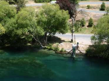
The NRFA is the UK’s focal point for river flow data. It collates, quality controls, and archives  hydrometric data from networks across the UK including those operated by the Environment Agency (England), Natural Resources Wales, the Scottish Environment Protection Agency and for Northern Ireland, the Department for Infrastructure – Rivers.

The NRFA acts as the main focal point for hydrometric data in the UK, providing stewardship of, and access to, daily, monthly and flood peak river flow data from over 1,500 gauging stations nationally. It supports the hydrometric monitoring activities of our partner organisations and offers independent, authoritative commentary on issues related to river flow measurement. In collaboration with measuring authorities, the NRFA endeavours to maximise both the quality and utility of the hydrometric data under its stewardship.

The data provided by the NRFA underpin much of the hydrological research and water resources development and management activity in the UK. The NRFA's Peak Flow datasets form the basis of UK industry standard flood frequency estimates for planning and development purposes. NRFA data and analyses also feed into a range of international hydrometric networks and global initiatives.

NRFA website >

Case study: Sava River Basin Commission: hydrological data management and exchange

Sava River BasinThe UK Centre for Ecology & Hydrology worked with the Sava River Basin Commission as part of a WMO and United Nations Office for Disaster Risk Reduction project, providing technical expertise to improve hydrological data sharing.

The project assisted with the development of the first ever policy in the Sava Basin on the exchange of hydrological and meteorological data. This policy now underpins improvements in decision-making for flood risk management, water resources planning and transportation.

As a result, water management organisations in the region are further developing their data exchange system, and the coordination and harmonisation of measurements at border stations, as well as upgrading their existing hydrological and hydraulic models.

Case study: India Hydrology Project

Through the India Hydrology Project, delivered with Mott MacDonald India for the Government of Indiaa and funded by World Bank, UKCEH scientists provided technical assistance and management support for hydrometeorological monitoring.

This included:

  • Establishing an effective and sound hydrologic database and Hydrological Information System (HIS)
  • Developing consistent and scientifically-based tools to assist in effective water resources planning and management.
  • Building the capacity of the participating central and state agencies in using these systems and information.
  • Formulating a strategy for raising market awareness and promoting the wider use of hydrometeorological data.

Product: HYRAD: Hydrological Radar

HYRAD (Hydrological Radar) is an advanced system for the receipt, processing, display and archiving  of real-time radar rainfall and other hydrometeorological observation and forecast products. Processing tools include merging of radar and rain gauge data, assessment of storm rarity, forecasting of rainfall, calculating catchment averages, and statistical analysis of products.

HYRAD has a wide user-base, including government flood warning agencies across the UK and Belgium, and is an integral part of several flood-forecasting systems. Water companies use the system for realtime and post-event analysis of flood and pollution events, predicting bathing water quality, hydraulic model  verification, and managing maintenance operations.