Project Overview

Land InSight: A Digital Twin for UK soils

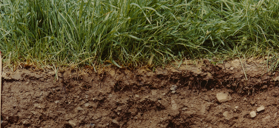
UKCEH is developing a digital twin of UK soils to improve our understanding of soil moisture and soil carbon and decision making around climate impacts (flooding and drought) and Net Zero (increasing the uptake of carbon by soils).

Land InSight will:

  • Bring together a wide range of soil observations, from in situ monitoring networks and remote sensing, with models of the land surface and soils
  • Produce real-time predictions of soil states, combining observations with state-of the-art models
  • Bring new data science and machine learning approaches alongside process models and develop hybrid modelling approaches
  • Allow scenarios of future soil states to be produced, under varying climate and land use
  • Share soil information directly with end users through interactive tools
  • Link with other digital twins of the environment to improve the way soils are represented in other modelling systems 

The project is funded by NERC as a Digital Twin use case and is a collaboration with the British Geological Survey and British Antarctic Survey.


Why do we need to understand soil moisture and soil carbon?

Understanding the interactions at the land surface, in particular the roles of soils for water and carbon retention, is critical to the UK’s response to the climate emergency. Soil moisture has a huge influence on both flooding and drought, predicted to be the greatest direct impacts of climate change on the UK. Increasing the uptake of soil carbon through land management will be critical to achieving net-zero targets.

The land surface is increasingly susceptible to multiple pressures including land use change and climate extremes such as heat waves, cold snaps, extreme rainfall (flood) and low rainfall (drought). This is already beginning to push moisture and carbon retention out of its normal operating range.

We need to improve understanding of land surface processes and predictions of soil behaviour under land management scenarios as we move to warmer summers and wetter winters.

What is an Environmental Digital Twin?

Digital Twins of the Environment (DTEs) are a genuinely new paradigm offering a pathway for the discovery of new knowledge (unknown-unknowns and environmental feedbacks) about environmental systems, improving our ability to model and predict the functioning of these systems and provide information for decision making in real-time or for constructed scenarios.

Traditionally, there has been a tendency for process-based modelling and data-driven modelling to be isolated activities. Digital twins provide an opportunity for data-driven understanding to challenge process-based models and, conversely, for process understanding to inform data-driven analyses.

Outputs from these combined pathways can inform adaptive sampling of existing data or the environment to further reduce uncertainties.

Digital Twins also provide a framework for improving the way we deliver real time observations of the environment into models, opening up environmental modelling systems for the use of data science and machine learning as well as integrated modelling, and, importantly, delivering open datasets from modelling frameworks and tools to make environmental modelling directly accessible to end users and decision makers.

How is Land InSight improving our understanding of soil moisture and soil carbon?

Land InSight will:

  • Produce a Digital Twin of the Environment using NERC's Jasmin infrastructure
  • Deliver near real time soil moisture data at 1km scale for the UK from the JULES land surface model
  • Provide a framework for the integration of other process based and statistical models
  • Access and use data from observations networks including COSMOS-UK, UKCEH's Greenhouse Gas Flux networkCountryside Survey, and remote sensing products
  • Deliver new insights from meteorological, soil moisture, and carbon and water flux observation data for example through detailed analysis of soil dry-down, evaporation, and plant respiration.
  • Deliver new machine learning models to inform and improve process models, and develop new hybrid modelling approaches to take integrate information from observations and our knowledge of soil processes in real-time.

Project leads

Matt is leading the delivery of Land InSight. He has expertise in environmental informatics and delivering hydrological data products.
Gordon leads UKCEH's data science strategy and has a specific focus on digital twins of the environment, and the information management frameworks needed to allow them to interact.
Eleanor is an expert in representation of land surface processes within environmental models, in particular those relating to soil and carbon fluxes.