Available translations: English

Overview – how it all fits together

While each UKCEH science infrastructure has its own unique purpose and capabilities, our whole portfolio is strategically planned and managed to enable integrated research across the whole land-based environment: 

  • To address the most important UK and global strategic goals and challenges
  • To provide broad-scale coverage of the UK and its landscapes as whole systems
  • To provide intensive, in-depth measurement of specific environmental systems, habitats and land-uses
  • To reveal and predict environmental processes, interconnections, status and change across all scales: from local field or city to landscape to national scale
  • To study the whole UK environmental system, encompassing different land use and habitat types including: land, soil, water and air; uplands and lowlands; urban and rural; agriculture and woodland; and so on
To see all UKCEH Science Infrastructures ‘at-a-glance’, before you search our catalogue in more detail, check out the interactive diagram below. You can see how each of our infrastructures contribute to our strategic goals and challenges.

The tables below show more (or less) summary information for each of the infrastructures.

Science infrastructure catalogue

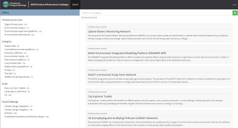
Our science infrastructure catalogue is an interactive portal that enables you to explore the infrastructures we operate, to understand their purpose and capabilities, and to find out how you can access them and the data that they generate.

The catalogue is primarily for the UK research community, including scientists and students, as well as for research funders and partners in government departments, public bodies, businesses and non-governmental organisations.

If you have any feedback on how we can make this catalogue more useful please email our science infrastructure catalogue team

Explore the catalogue >

Image
Screengrab showing Science Infrastructure homepage