Available translations: Cymraeg

Scientific challenge

Agriculture covers 81% of Welsh land – this makes farmers among the most critical stakeholders in Welsh Land Use policy. Meeting the demand for food, improving biodiversity, reducing pollution and greenhouse gas emissions and also adapting to climate change is a huge challenge.

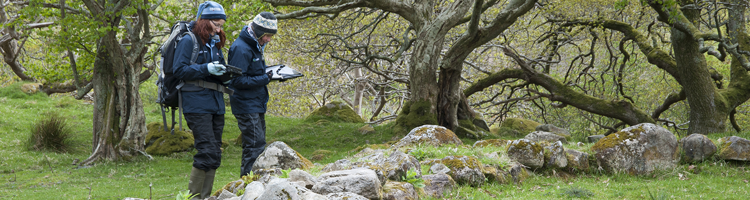
The Welsh Government established the Glastir sustainable land management scheme to help balance these needs, providing farmers and land managers with financial support to implement environment-friendly practices.

Project overview


Image
Collecting data in the field on a tablet computer

To provide continuous feedback on Glastir, the Welsh Government commissioned the UK Centre for Ecology & Hydrology (UKCEH) to lead a parallel Glastir Monitoring and Evaluation Programme (GMEP) in partnership with 19 other organisations.

Specialist teams survey 300 1km squares across Wales over four-year periods, collecting data on greenhouse gases, freshwater quality and biodiversity, pollinating invertebrates, birds, habitats, soils, landscapes and historic features. These surveys provide evidence of change in response to Glastir and other pressures such as climate change and air pollution.

UKCEH and partners combine this information with historic data from other specialist monitoring programmes, providing an invaluable integrated understanding of the whole ecosystem. GMEP models forecast the improvements Glastir management expects to deliver so that adjustments can be made to maximize impact.

Outputs of GMEP include:

  • the application of new molecular techniques for soil biodiversity
  • mobile flux towers for measuring greenhouse gases
  • unified peat map for Wales to improve targeting of payments when negotiating Glastir contracts
  • Priority Bird Species Index for Wales for monitoring long-term trends
  • Visual Quality Index for quantifying assessing change in the quality of landscapes
  • fine resolution predictive map of Annual Net Primary Productivity (i.e. plant growth) for Wales using a combination of remotely sensed data and plant trait modelling

Results

Image
Surveyor checking finds in a freshwater sampling net

GMEP research has already provided feedback on the early stages of this national scheme. Analysis of the first set of baseline data alongside long-term historic data indicates stability for the Glastir outcomes, with little evidence of improvement other than headwater stream quality, greenhouse gas emissions and woodland area for which there has been improvement over the last 20 years.

Some other headline findings include:

  • 91% of streams had some level of modification but 60% retained good ecological quality
  • no change in topsoil carbon content over last 25 years
  • 51% of historic features in excellent or sound condition
  • two thirds of public rights of way fully open and accessible
  • reductions in national nitrate leaching, nitrous oxide and methane emissions of 5-10% could be achieved by withholding nitrogen fertiliser and reducing stocking rate on larger improved grassland areas
  • modelling forecasts indicate a potential reduction in flood-generating land of 1-9% through implementing the ‘creation of new streamside corridors with trees planting’ and ‘extension of existing woodland edge’ Glastir options
  • 10% of Wales has good provision of two or more co-located ecosystem services, while 28% has the potential to gain more than it would lose in service provision if intervention measures were implemented

This integrated analysis of the whole ecosystem, incorporating environmental, social and economic analysis, allows for a robust analysis of trade-offs and co-benefits of the different management options. See the GMEP data portal for more information.

Contact

Bronwen Williams, GMEP Project Manager

Principal Investigator

Bridget is UKCEH's Science Area Head for Soils and Land Use (SLU) which involves leadership and management of more than 100 research staff and 40 postgraduate students across three UKCEH sites.